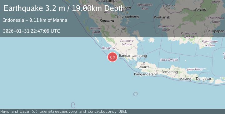
Earthquake Southern Sumatra, Indonesia
Sat, 31 Jan 2026 22:47:06 GMT
Time2 weeks ago
Location
-5.2699, 102.4010
Depth
18.6 KM
Event Summary
A 3.2 magnitude earthquake struck on Southern Sumatra, Indonesia, at Sat, 31 Jan 2026 22:47:06 GMT. Depth: 18.595182km. Reviewed by BMKG seismologists, this minor quake occurred at a magnitude type of M.
Magnitude
3.2
M
Source
BMKG
Intensity
-
Agency Reports
1 Sources| Source | Magnitude | Depth | Time |
|---|---|---|---|
| BMKGPrimary | 3.2 | 19 km | 2 weeks ago |
Earthquake Details
AutomaticEvent IDbmg2026ceof
Tsunami PotentialNo
Magnitude TypeM
Nearest Places
- Kijah12.5 km
- Batang Kuwau13.3 km
- Tanjung Kaana13.3 km
- Taoabi14.1 km
- Belowa14.2 km
Comments
Join the discussion about this event.
Latest Earthquakes
2.1Mag
Poland
Time3 minutes ago
Depth1.95 km
SourceVYT (Automatic)
1.7Mag
2 km NW of Enterprise, Nevada
Time11 minutes ago
Depth15.89 km
SourceUSGS (Automatic)
1.3Mag
Southeastern Alaska
Time12 minutes ago
Depth7.20 km
SourceVYT (Automatic)
0.8Mag
39 km NE of Amboy, Washington
Time14 minutes ago
Depth7.36 km
SourceUSGS (Automatic)
3.5Mag
ANDHRA PRADESH, INDIA
Time18 minutes ago
Depth10.00 km
SourceNDI (Automatic)
Nearby Earthquakes
5.1Mag
SOUTHERN SUMATRA, INDONESIA
Time7 years ago
Depth47.00 km
SourceEMSC (Automatic)
3.0Mag
SOUTHERN SUMATRA, INDONESIA
Time8 months ago
Depth22.00 km
SourceBMKG (Automatic)
3.0Mag
SOUTHERN SUMATRA, INDONESIA
Time10 months ago
Depth10.00 km
SourceBMKG (Automatic)
3.0Mag
SOUTHERN SUMATRA, INDONESIA
Time2 years ago
Depth21.00 km
SourceDJA (Automatic)
4.0Mag
SOUTHERN SUMATRA, INDONESIA
Time1 year ago
Depth10.00 km
SourceBMKG (Automatic)