Earthquake SOUTHERN SUMATRA, INDONESIA
Wed, 12 Sep 2018 07:27:50 GMT
Time7 years ago
Location
-5.2200, 102.4400
Depth
47.0 KM
Event Summary
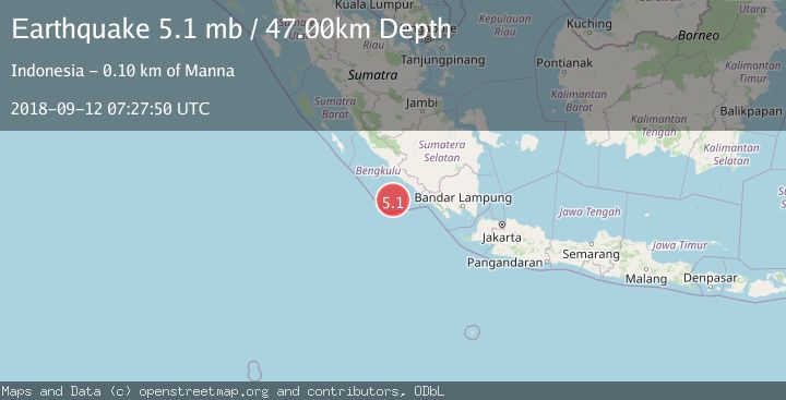
A 5.1 magnitude earthquake struck on SOUTHERN SUMATRA, INDONESIA, at Wed, 12 Sep 2018 07:27:50 GMT. Depth: 47km. Reviewed by EMSC seismologists, this moderate quake occurred at a magnitude type of mb.
Magnitude
5.1
mb
Source
EMSC
Intensity
-
Agency Reports
1 Sources| Source | Magnitude | Depth | Time |
|---|---|---|---|
| EMSCPrimary | 5.1 | 47 km | 7 years ago |
Earthquake Details
AutomaticEvent IDemsc_EMSC_20180912_0000033
Tsunami PotentialNo
Magnitude Typemb
Nearest Places
- Kijah19.4 km
- Tanjung Kaana19.4 km
- Batang Kuwau20.3 km
- Taoabi20.7 km
- Belowa21.1 km
Comments
Join the discussion about this event.
Latest Earthquakes
2.1Mag
Flores Region, Indonesia
Time3 minutes ago
Depth165.90 km
SourceBMKG
2.4Mag
Sumbawa region, Indonesia
Time4 minutes ago
Depth19.65 km
SourceVYT (Automatic)
2.1Mag
Poland
Time7 minutes ago
Depth1.95 km
SourceVYT (Automatic)
1.7Mag
2 km NW of Enterprise, Nevada
Time15 minutes ago
Depth15.89 km
SourceUSGS (Automatic)
1.3Mag
Southeastern Alaska
Time16 minutes ago
Depth7.20 km
SourceVYT (Automatic)
Nearby Earthquakes
3.0Mag
SOUTHERN SUMATRA, INDONESIA
Time10 months ago
Depth10.00 km
SourceBMKG (Automatic)
3.2Mag
Southern Sumatra, Indonesia
Time2 weeks ago
Depth18.60 km
SourceBMKG (Automatic)
4.0Mag
SOUTHERN SUMATRA, INDONESIA
Time1 year ago
Depth10.00 km
SourceBMKG (Automatic)
3.0Mag
SOUTHERN SUMATRA, INDONESIA
Time5 years ago
Depth13.00 km
SourceDJA (Automatic)
3.0Mag
SOUTHERN SUMATRA, INDONESIA
Time8 months ago
Depth22.00 km
SourceBMKG (Automatic)