Earthquake Flores Region, Indonesia
Tue, 03 Feb 2026 17:35:16 GMT
Time23 hours ago
Location
-8.0860, 121.7147
Depth
10.0 KM
Event Summary
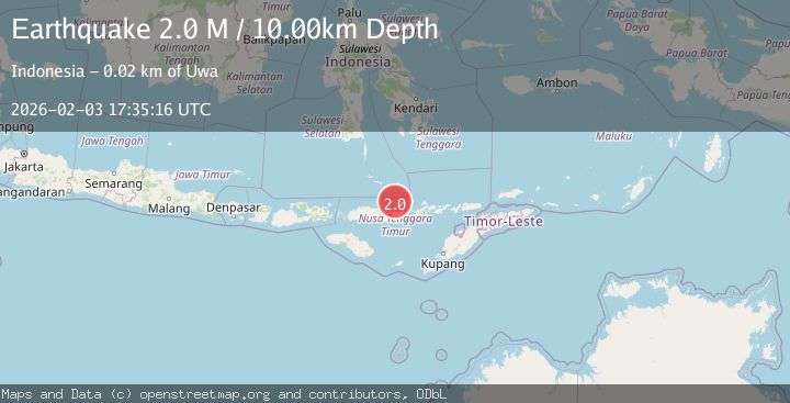
A 2.0 magnitude earthquake struck on Flores Region, Indonesia, at Tue, 03 Feb 2026 17:35:16 GMT. Depth: 10km. Reviewed by BMKG seismologists, this minor quake occurred at a magnitude type of M.
Magnitude
2.0
M
Source
BMKG
Intensity
-
Agency Reports
1 Sources| Source | Magnitude | Depth | Time |
|---|---|---|---|
| BMKGPrimary | 2.0 | 10 km | 23 hours ago |
Earthquake Details
AutomaticEvent IDbmg2026cjqk
Tsunami PotentialNo
Magnitude TypeM
Nearest Places
- Tesalanga23.2 km
- Tepetetu23.4 km
- Woloabi23.4 km
- Maluriwu23.4 km
- Tanjung Karang23.5 km
Comments
Join the discussion about this event.
Latest Earthquakes
2.1Mag
25 km WSW of Petersville, Alaska
Time23 hours ago
Depth76.70 km
SourceUSGS (Automatic)
1.6Mag
3 km NNW of Redway, CA
Time23 hours ago
Depth20.38 km
SourceUSGS (Automatic)
2.2Mag
Sumbawa Region, Indonesia
Time23 hours ago
Depth24.03 km
SourceBMKG (Automatic)
1.1Mag
88 km SE of McCarthy, Alaska
Time23 hours ago
Depth18.70 km
SourceUSGS (Automatic)
1.7Mag
2 km ESE of The Geysers, CA
Time23 hours ago
Depth1.01 km
SourceUSGS (Automatic)
Nearby Earthquakes
3.1Mag
Flores Region, Indonesia
Time1 week ago
Depth1.78 km
SourceBMKG (Automatic)
2.3Mag
Flores Sea
Time6 days ago
Depth11.71 km
SourceBMKG (Automatic)
2.7Mag
Flores Region, Indonesia
Time2 days ago
Depth8.74 km
SourceBMKG (Automatic)
2.3Mag
Flores Region, Indonesia
Time1 day ago
Depth17.19 km
SourceBMKG (Automatic)
2.0Mag
Flores Region, Indonesia
Time2 days ago
Depth21.47 km
SourceBMKG (Automatic)