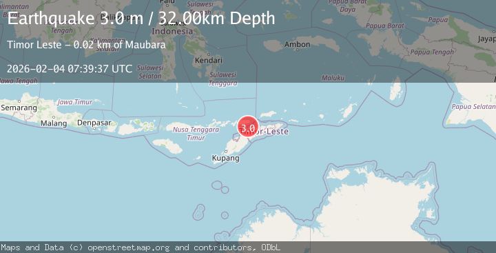
Earthquake Timor Region
Wed, 04 Feb 2026 07:39:41 GMT
Time8 hours ago
Location
-8.0742, 125.0999
Depth
10.0 KM
Event Summary
A 2.3 magnitude earthquake struck on Timor Region, at Wed, 04 Feb 2026 07:39:41 GMT. Depth: 10km. Reviewed by BMKG seismologists, this minor quake occurred at a magnitude type of M.
Magnitude
2.3
M
Source
BMKG
Intensity
-
Agency Reports
1 Sources| Source | Magnitude | Depth | Time |
|---|---|---|---|
| BMKGPrimary | 2.3 | 10 km | 8 hours ago |
Earthquake Details
AutomaticEvent IDbmg2026cksg
Tsunami PotentialNo
Magnitude TypeM
Nearest Places
- Tanjung Manamuni8.1 km
- Teluk Iramakala8.7 km
- Tanjung Argomo8.9 km
- Alu Yamaraka9.3 km
- Ireaku Wekelmai9.3 km
Comments
Join the discussion about this event.
Latest Earthquakes
2.2Mag
1 km SW of Houston, Alaska
Time9 hours ago
Depth32.20 km
SourceUSGS (Automatic)
3.6Mag
CRETE, GREECE
Time9 hours ago
Depth16.00 km
SourceTHE (Automatic)
1.1Mag
26 km NNE of Gardendale, Texas
Time9 hours ago
Depth4.37 km
SourceUSGS (Automatic)
5.2Mag
Mindanao, Philippines
Time9 hours ago
Depth10.00 km
SourceBMKG (Automatic)
2.2Mag
Sumbawa Region, Indonesia
Time9 hours ago
Depth7.71 km
SourceBMKG (Automatic)
Nearby Earthquakes
2.0Mag
Timor Region
Time1 week ago
Depth21.90 km
SourceBMKG (Automatic)
2.1Mag
Timor Region
Time1 day ago
Depth11.36 km
SourceBMKG (Automatic)
2.5Mag
Timor Region
Time23 hours ago
Depth21.54 km
SourceBMKG (Automatic)
2.8Mag
Timor Region
Time6 days ago
Depth10.00 km
SourceBMKG (Automatic)
3.2Mag
KEPULAUAN ALOR, INDONESIA
Time1 week ago
Depth208.00 km
SourceBMKG (Automatic)