Earthquake Southern Sumatra, Indonesia
Thu, 05 Feb 2026 15:32:52 GMT
Time1 week ago
Location
-4.2032, 102.1091
Depth
27.4 KM
Event Summary
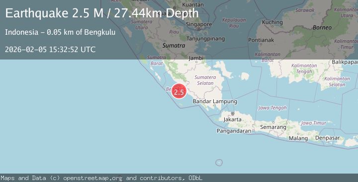
A 2.5 magnitude earthquake struck on Southern Sumatra, Indonesia, at Thu, 05 Feb 2026 15:32:52 GMT. Depth: 27.443968km. Reviewed by BMKG seismologists, this minor quake occurred at a magnitude type of M.
Magnitude
2.5
M
Source
BMKG
Intensity
-
Agency Reports
1 Sources| Source | Magnitude | Depth | Time |
|---|---|---|---|
| BMKGPrimary | 2.5 | 27 km | 1 week ago |
Earthquake Details
AutomaticEvent IDbmg2026cndj
Tsunami PotentialNo
Magnitude TypeM
Nearest Places
- Lebar Reef29.9 km
- Air Kungkauunak33.5 km
- Desa Kungkai Baru34.1 km
- Pasarkungkai34.2 km
- Kelurahan Teluk Sepang35.2 km
Comments
Join the discussion about this event.
Latest Earthquakes
0.6Mag
12 km SE of Anza, CA
Time7 minutes ago
Depth6.49 km
SourceUSGS (Automatic)
2.6Mag
western Texas
Time9 minutes ago
Depth12.70 km
SourceVYT (Automatic)
2.0Mag
Sumbawa Region, Indonesia
Time10 minutes ago
Depth21.49 km
SourceBMKG
1.0Mag
Southern Alaska
Time11 minutes ago
Depth1.34 km
SourceVYT (Automatic)
1.7Mag
Dead Sea region
Time12 minutes ago
Depth0.00 km
SourceVYT (Automatic)
Nearby Earthquakes
4.0Mag
SOUTHERN SUMATRA, INDONESIA
Time6 years ago
Depth29.00 km
SourceDJA (Automatic)
3.1Mag
SOUTHERN SUMATRA, INDONESIA
Time1 month ago
Depth40.00 km
SourceBMKG (Automatic)
3.0Mag
SOUTHERN SUMATRA, INDONESIA
Time4 years ago
Depth28.00 km
SourceDJA (Automatic)
5.0Mag
SOUTHERN SUMATRA, INDONESIA
Time17 years ago
Depth68.00 km
SourceEMSC (Automatic)
3.0Mag
SOUTHERN SUMATRA, INDONESIA
Time5 years ago
Depth18.00 km
SourceDJA (Automatic)