Earthquake SOUTHERN SUMATRA, INDONESIA
Fri, 19 Feb 2021 19:45:24 GMT
Time5 years ago
Location
-4.2500, 102.0600
Depth
18.0 KM
Event Summary
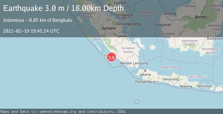
A 3.0 magnitude earthquake struck on SOUTHERN SUMATRA, INDONESIA, at Fri, 19 Feb 2021 19:45:24 GMT. Depth: 18km. Reviewed by DJA seismologists, this minor quake occurred at a magnitude type of m.
Magnitude
3.0
m
Source
DJA
Intensity
-
Agency Reports
1 Sources| Source | Magnitude | Depth | Time |
|---|---|---|---|
| DJAPrimary | 3.0 | 18 km | 5 years ago |
Earthquake Details
AutomaticEvent IDemsc_DJA_20210219_0000157
Tsunami PotentialNo
Magnitude Typem
Nearest Places
- Lebar Reef36.8 km
- Air Kungkauunak41.0 km
- Desa Kungkai Baru41.7 km
- Pasarkungkai41.7 km
- Kelurahan Teluk Sepang42.6 km
Comments
Join the discussion about this event.
Latest Earthquakes
0.7Mag
3 km NNW of The Geysers, CA
Time3 hours ago
Depth2.60 km
SourceUSGS (Automatic)
1.1Mag
33 km SSE of Glacier View, Alaska
Time3 hours ago
Depth20.20 km
SourceUSGS (Automatic)
1.8Mag
50 km W of Mentone, Texas
Time3 hours ago
Depth3.75 km
SourceUSGS (Automatic)
0.9Mag
81 km NNW of Karluk, Alaska
Time3 hours ago
Depth34.10 km
SourceUSGS (Automatic)
1.5Mag
Tarapaca, Chile
Time3 hours ago
Depth32.84 km
SourceVYT (Automatic)
Nearby Earthquakes
5.1Mag
SOUTHERN SUMATRA, INDONESIA
Time2 years ago
Depth37.00 km
SourceEMSC (Automatic)
3.0Mag
SOUTHERN SUMATRA, INDONESIA
Time4 years ago
Depth28.00 km
SourceDJA (Automatic)
3.1Mag
SOUTHERN SUMATRA, INDONESIA
Time1 month ago
Depth40.00 km
SourceBMKG (Automatic)
4.0Mag
SOUTHERN SUMATRA, INDONESIA
Time6 years ago
Depth29.00 km
SourceDJA (Automatic)
2.5Mag
Southern Sumatra, Indonesia
Time1 week ago
Depth27.44 km
SourceBMKG (Automatic)