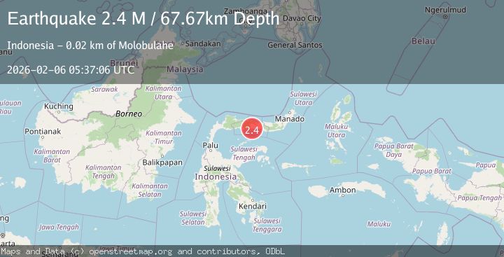
Earthquake Minahassa Peninsula, Sulawesi
Fri, 06 Feb 2026 05:37:06 GMT
Time4 days ago
Location
0.5127, 122.5081
Depth
67.7 KM
Event Summary
A 2.4 magnitude earthquake struck on Minahassa Peninsula, Sulawesi, at Fri, 06 Feb 2026 05:37:06 GMT. Depth: 67.670967km. Reviewed by BMKG seismologists, this minor quake occurred at a magnitude type of M.
Magnitude
2.4
M
Source
BMKG
Intensity
-
Agency Reports
1 Sources| Source | Magnitude | Depth | Time |
|---|---|---|---|
| BMKGPrimary | 2.4 | 68 km | 4 days ago |
Earthquake Details
AutomaticEvent IDbmg2026cofg
Tsunami PotentialNo
Magnitude TypeM
Nearest Places
- Libuiyo Tabongo0.4 km
- Dutula Tihu0.8 km
- Tihu1.1 km
- Libuiyo Tihu1.2 km
- Huidu Tabongo1.5 km
Comments
Join the discussion about this event.
Latest Earthquakes
2.0Mag
20 km WNW of Sunnyside-Tahoe City, CA
Time2 hours ago
Depth-1.58 km
SourceUSGS (Automatic)
0.7Mag
13 km ENE of Cloverdale, CA
Time2 hours ago
Depth2.32 km
SourceUSGS (Automatic)
1.1Mag
11 km W of Forsan, Texas
Time2 hours ago
Depth1.29 km
SourceUSGS (Automatic)
2.5Mag
16 km SSE of Pope-Vannoy Landing, Alaska
Time2 hours ago
Depth14.10 km
SourceUSGS (Automatic)
2.4Mag
Sumbawa Region, Indonesia
Time2 hours ago
Depth14.22 km
SourceBMKG
Nearby Earthquakes
3.4Mag
Minahassa Peninsula, Sulawesi
Time3 days ago
Depth2.30 km
SourceBMKG (Automatic)
2.4Mag
Minahassa Peninsula, Sulawesi
Time1 week ago
Depth20.22 km
SourceBMKG (Automatic)
2.4Mag
Minahassa Peninsula, Sulawesi
Time1 week ago
Depth65.05 km
SourceBMKG (Automatic)
2.3Mag
Minahassa Peninsula, Sulawesi
Time2 weeks ago
Depth68.84 km
SourceBMKG (Automatic)
2.4Mag
Minahassa Peninsula, Sulawesi
Time2 weeks ago
Depth63.62 km
SourceBMKG (Automatic)