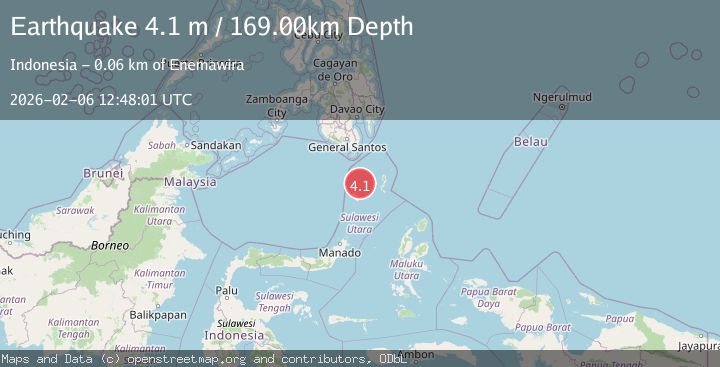
Earthquake Talaud Islands, Indonesia
Fri, 06 Feb 2026 12:47:59 GMT
Time1 hour ago
Location
3.8605, 125.9563
Depth
151.3 KM
Event Summary
A 4.1 magnitude earthquake struck on Talaud Islands, Indonesia, at Fri, 06 Feb 2026 12:47:59 GMT. Depth: 151.321182km. Reviewed by BMKG seismologists, this light quake occurred at a magnitude type of M.
Magnitude
4.1
M
Source
BMKG
Intensity
-
Agency Reports
2 Sources| Source | Magnitude | Depth | Time |
|---|---|---|---|
| BMKGPrimary | 4.0 | 151 km | 1 hour ago |
| PIVS | 4.1 | 169 km | 1 hour ago |
Earthquake Details
AutomaticEvent IDbmg2026cotl
Tsunami PotentialNo
Magnitude TypeM
Nearest Places
- Pulau Balontohe21.4 km
- Pulau Masetang22.1 km
- Pulau Maliha22.4 km
- Pulau Makoahe22.7 km
- Pulau Maselung24.7 km
Comments
Join the discussion about this event.
Latest Earthquakes
1.8Mag
73 km ENE of Ugashik, Alaska
Time5 minutes ago
Depth130.20 km
SourceUSGS (Automatic)
3.1Mag
South of Java, Indonesia
Time8 minutes ago
Depth10.44 km
SourceBMKG (Automatic)
0.9Mag
NORTHERN ITALY
Time14 minutes ago
Depth12.00 km
SourceOGS (Automatic)
2.7Mag
Minahassa Peninsula, Sulawesi
Time17 minutes ago
Depth5.00 km
SourceBMKG (Automatic)
2.1Mag
Flores Sea
Time26 minutes ago
Depth10.00 km
SourceBMKG (Automatic)
Nearby Earthquakes
3.6Mag
Talaud Islands, Indonesia
Time6 days ago
Depth122.10 km
SourceBMKG (Automatic)
3.0Mag
Talaud Islands, Indonesia
Time23 hours ago
Depth16.97 km
SourceBMKG (Automatic)
3.3Mag
Talaud Islands, Indonesia
Time2 days ago
Depth123.54 km
SourceBMKG (Automatic)
3.2Mag
Talaud Islands, Indonesia
Time1 week ago
Depth128.63 km
SourceBMKG (Automatic)
3.0Mag
Talaud Islands, Indonesia
Time1 week ago
Depth117.70 km
SourceBMKG (Automatic)