Earthquake 73 km ENE of Ugashik, Alaska
Fri, 06 Feb 2026 14:07:36 GMT
Time1 hour ago
Location
57.8080, -156.2890
Depth
130.2 KM
Event Summary
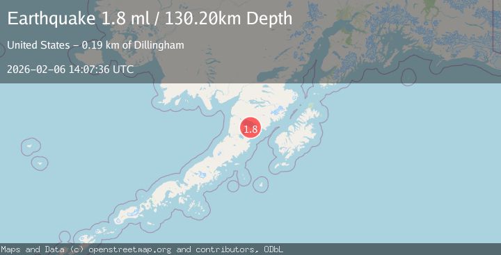
A 1.8 magnitude earthquake struck on 73 km ENE of Ugashik, Alaska, at Fri, 06 Feb 2026 14:07:36 GMT. Depth: 130.2km. Reviewed by USGS seismologists, this minor quake occurred at a magnitude type of ml.
Magnitude
1.8
ml
Source
USGS
Intensity
-
Agency Reports
1 Sources| Source | Magnitude | Depth | Time |
|---|---|---|---|
| USGSPrimary | 1.8 | 130 km | 1 hour ago |
Earthquake Details
AutomaticEvent IDusgs_ak2026cpegck
Tsunami PotentialNo
Magnitude Typeml
Nearest Places
- Simeon Creek7.8 km
- Mount Peulik7.9 km
- Featherly Creek10.6 km
- Camp Creek11.2 km
- Featherly Pass12.7 km
Comments
Join the discussion about this event.
Latest Earthquakes
2.7Mag
Java, Indonesia
Time7 minutes ago
Depth19.42 km
SourceBMKG (Automatic)
2.7Mag
16 km SW of Salcha, Alaska
Time13 minutes ago
Depth7.30 km
SourceUSGS (Automatic)
2.7Mag
South of Bali, Indonesia
Time14 minutes ago
Depth24.54 km
SourceBMKG (Automatic)
1.5Mag
52 km NW of Ninilchik, Alaska
Time25 minutes ago
Depth84.50 km
SourceUSGS (Automatic)
2.4Mag
Seram, Indonesia
Time37 minutes ago
Depth6.27 km
SourceBMKG (Automatic)
Nearby Earthquakes
1.4Mag
85 km WNW of Karluk, Alaska
Time1 week ago
Depth17.30 km
SourceUSGS (Automatic)
1.4Mag
61 km E of Egegik, Alaska
Time17 hours ago
Depth10.70 km
SourceUSGS
1.9Mag
58 km SSE of King Salmon, Alaska
Time1 day ago
Depth5.00 km
SourceUSGS (Automatic)
1.4Mag
57 km E of Egegik, Alaska
Time2 hours ago
Depth17.70 km
SourceUSGS (Automatic)
1.1Mag
80 km WNW of Karluk, Alaska
Time5 days ago
Depth6.30 km
SourceUSGS (Automatic)