Earthquake South of Bali, Indonesia
Fri, 06 Feb 2026 15:15:50 GMT
Time1 hour ago
Location
-9.5303, 115.0853
Depth
24.5 KM
Event Summary
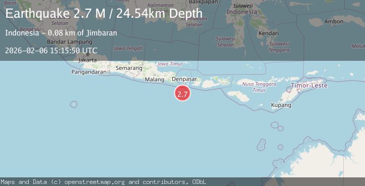
A 2.7 magnitude earthquake struck on South of Bali, Indonesia, at Fri, 06 Feb 2026 15:15:50 GMT. Depth: 24.54km. Reviewed by BMKG seismologists, this minor quake occurred at a magnitude type of M.
Magnitude
2.7
M
Source
BMKG
Intensity
-
Agency Reports
1 Sources| Source | Magnitude | Depth | Time |
|---|---|---|---|
| BMKGPrimary | 2.7 | 25 km | 1 hour ago |
Earthquake Details
AutomaticEvent IDbmg2026coyi
Tsunami PotentialNo
Magnitude TypeM
Nearest Places
- The Edge76.2 km
- Tukad Jelijih76.2 km
- Alila Villas76.2 km
- Alila Villas Uluwatu76.2 km
- Tukad Pangpang76.3 km
Comments
Join the discussion about this event.
Latest Earthquakes
2.5Mag
43 km NNE of Ouzinkie, Alaska
Time12 minutes ago
Depth3.80 km
SourceUSGS (Automatic)
0.5Mag
18 km ESE of Anza, CA
Time13 minutes ago
Depth14.57 km
SourceUSGS (Automatic)
2.1Mag
KERKIRA REGION, GREECE
Time18 minutes ago
Depth15.00 km
SourceIGEO (Automatic)
2.5Mag
South of Sumbawa, Indonesia
Time26 minutes ago
Depth10.00 km
SourceBMKG (Automatic)
2.5Mag
Savu Sea
Time29 minutes ago
Depth31.49 km
SourceBMKG (Automatic)
Nearby Earthquakes
2.8Mag
South of Bali, Indonesia
Time1 week ago
Depth10.00 km
SourceBMKG (Automatic)
2.5Mag
South of Bali, Indonesia
Time1 week ago
Depth11.63 km
SourceBMKG (Automatic)
2.8Mag
South of Bali, Indonesia
Time1 week ago
Depth54.31 km
SourceBMKG (Automatic)
2.6Mag
South of Bali, Indonesia
Time1 week ago
Depth19.30 km
SourceBMKG (Automatic)
2.4Mag
South of Bali, Indonesia
Time1 week ago
Depth10.00 km
SourceBMKG (Automatic)