Earthquake Halmahera, Indonesia
Sat, 07 Feb 2026 15:15:36 GMT
Time20 hours ago
Location
2.2331, 129.0571
Depth
10.0 KM
Event Summary
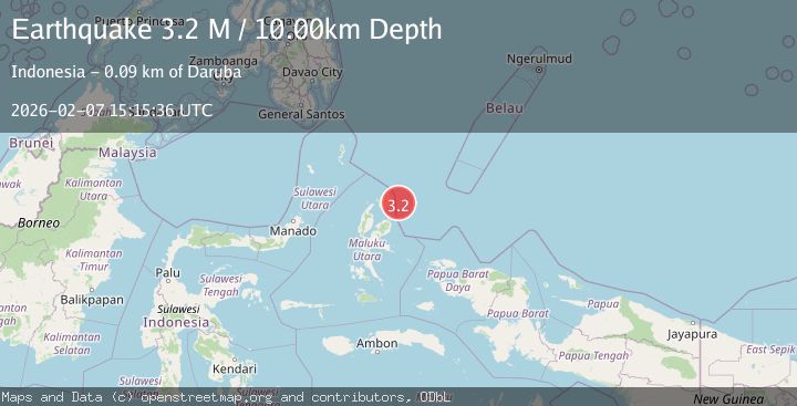
A 3.2 magnitude earthquake struck on Halmahera, Indonesia, at Sat, 07 Feb 2026 15:15:36 GMT. Depth: 10km. Reviewed by BMKG seismologists, this minor quake occurred at a magnitude type of M.
Magnitude
3.2
M
Source
BMKG
Intensity
-
Agency Reports
1 Sources| Source | Magnitude | Depth | Time |
|---|---|---|---|
| BMKGPrimary | 3.2 | 10 km | 20 hours ago |
Earthquake Details
AutomaticEvent IDbmg2026cqtv
Tsunami PotentialNo
Magnitude TypeM
Nearest Places
- Gura Tabailenge44.8 km
- Tanjung Bobor45.6 km
- Tanjung Selepia45.7 km
- Tanjung Roringosa45.8 km
- Gurua46.0 km
Comments
Join the discussion about this event.
Latest Earthquakes
1.1Mag
22 km E of Julian, CA
Time10 minutes ago
Depth14.39 km
SourceUSGS (Automatic)
2.0Mag
STRAIT OF GIBRALTAR
Time19 minutes ago
Depth0.00 km
SourceIGN (Automatic)
2.4Mag
Minahassa Peninsula, Sulawesi
Time28 minutes ago
Depth130.30 km
SourceBMKG (Automatic)
3.5Mag
SALTA, ARGENTINA
Time31 minutes ago
Depth146.00 km
SourceNSNA (Automatic)
3.0Mag
Northern Molucca Sea
Time32 minutes ago
Depth28.83 km
SourceBMKG (Automatic)
Nearby Earthquakes
3.3Mag
Halmahera, Indonesia
Time2 hours ago
Depth10.00 km
SourceBMKG (Automatic)
2.9Mag
Halmahera, Indonesia
Time1 week ago
Depth1.41 km
SourceBMKG (Automatic)
3.0Mag
Halmahera, Indonesia
Time2 weeks ago
Depth42.06 km
SourceBMKG (Automatic)
3.2Mag
Halmahera, Indonesia
Time1 week ago
Depth34.47 km
SourceBMKG (Automatic)
3.5Mag
Halmahera, Indonesia
Time2 weeks ago
Depth209.55 km
SourceBMKG (Automatic)