Earthquake Northwest of Australia
Sun, 08 Feb 2026 18:30:38 GMT
Time5 hours ago
Location
-12.0967, 114.2454
Depth
5.0 KM
Event Summary
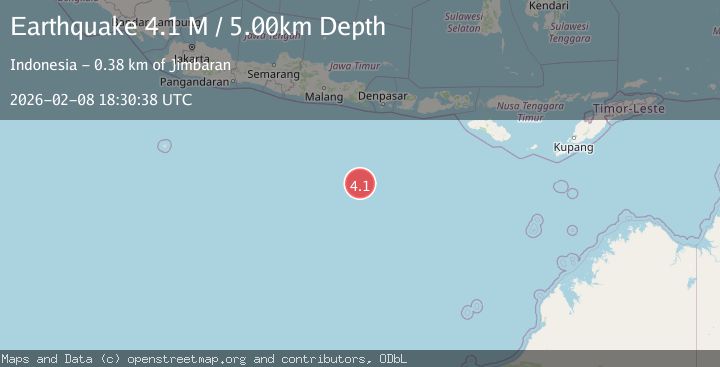
A 4.1 magnitude earthquake struck on Northwest of Australia, at Sun, 08 Feb 2026 18:30:38 GMT. Depth: 5km. Reviewed by BMKG seismologists, this light quake occurred at a magnitude type of M.
Magnitude
4.1
M
Source
BMKG
Intensity
-
Agency Reports
1 Sources| Source | Magnitude | Depth | Time |
|---|---|---|---|
| BMKGPrimary | 4.1 | 5 km | 5 hours ago |
Earthquake Details
AutomaticEvent IDbmg2026csvt
Tsunami PotentialNo
Magnitude TypeM
Nearest Places
- Lombok Basin316.3 km
- Roo Rise353.1 km
- North Australian Basin361.8 km
- Tanjung Bantenan370.2 km
- Kali Bindo370.3 km
Comments
Join the discussion about this event.
Latest Earthquakes
3.0Mag
South of Java, Indonesia
Time5 hours ago
Depth15.30 km
SourceBMKG (Automatic)
1.2Mag
3 km NW of The Geysers, CA
Time5 hours ago
Depth3.22 km
SourceUSGS (Automatic)
3.1Mag
South of Java, Indonesia
Time5 hours ago
Depth10.00 km
SourceBMKG (Automatic)
3.3Mag
ICELAND REGION
Time5 hours ago
Depth8.90 km
SourceIMO (Automatic)
1.3Mag
20 km SE of Pinnacles, CA
Time5 hours ago
Depth12.76 km
SourceUSGS (Automatic)
Nearby Earthquakes
4.3Mag
South of Java, Indonesia
Time1 week ago
Depth10.00 km
SourceBMKG (Automatic)
4.6Mag
South of Bali, Indonesia
Time5 days ago
Depth10.00 km
SourceBMKG (Automatic)
4.1Mag
South of Java, Indonesia
Time2 days ago
Depth10.00 km
SourceBMKG (Automatic)
3.6Mag
South of Java, Indonesia
Time6 days ago
Depth18.92 km
SourceBMKG (Automatic)
3.2Mag
SOUTH OF JAVA, INDONESIA
Time5 days ago
Depth17.00 km
SourceBMKG (Automatic)