Earthquake Timor Region
Tue, 10 Feb 2026 13:50:56 GMT
Time1 week ago
Location
-9.3183, 125.0096
Depth
39.9 KM
Event Summary
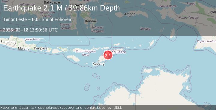
A 2.1 magnitude earthquake struck on Timor Region, at Tue, 10 Feb 2026 13:50:56 GMT. Depth: 39.857906km. Reviewed by BMKG seismologists, this minor quake occurred at a magnitude type of M.
Magnitude
2.1
M
Source
BMKG
Intensity
-
Agency Reports
1 Sources| Source | Magnitude | Depth | Time |
|---|---|---|---|
| BMKGPrimary | 2.1 | 40 km | 1 week ago |
Earthquake Details
ManualEvent IDbmg2026cwdn
Tsunami PotentialNo
Magnitude TypeM
Nearest Places
- Fukatehan1.3 km
- Mount Aikakur1.6 km
- Remiak1.8 km
- Weoan1.9 km
- Fatubanae2.3 km
Comments
Join the discussion about this event.
Latest Earthquakes
0.6Mag
12 km SE of Anza, CA
Time8 minutes ago
Depth6.49 km
SourceUSGS (Automatic)
2.6Mag
western Texas
Time10 minutes ago
Depth12.70 km
SourceVYT (Automatic)
2.0Mag
Sumbawa Region, Indonesia
Time11 minutes ago
Depth21.49 km
SourceBMKG
1.0Mag
Southern Alaska
Time11 minutes ago
Depth1.34 km
SourceVYT (Automatic)
1.7Mag
Dead Sea region
Time13 minutes ago
Depth0.00 km
SourceVYT (Automatic)
Nearby Earthquakes
4.0Mag
TIMOR REGION
Time7 months ago
Depth10.00 km
SourceBMKG (Automatic)
3.0Mag
EAST TIMOR REGION
Time5 years ago
Depth10.00 km
SourceDJA (Automatic)
4.0Mag
TIMOR REGION
Time2 years ago
Depth10.00 km
SourceBMKG (Automatic)
3.0Mag
EAST TIMOR REGION
Time4 years ago
Depth10.00 km
SourceDJA (Automatic)
3.0Mag
TIMOR REGION
Time3 years ago
Depth10.00 km
SourceDJA (Automatic)