Earthquake EAST TIMOR REGION
Tue, 16 Feb 2021 15:33:36 GMT
Time5 years ago
Location
-9.3200, 125.0800
Depth
10.0 KM
Event Summary
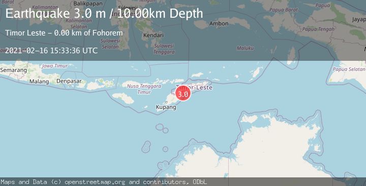
A 3.0 magnitude earthquake struck on EAST TIMOR REGION, at Tue, 16 Feb 2021 15:33:36 GMT. Depth: 10km. Reviewed by DJA seismologists, this minor quake occurred at a magnitude type of m.
Magnitude
3.0
m
Source
DJA
Intensity
-
Agency Reports
1 Sources| Source | Magnitude | Depth | Time |
|---|---|---|---|
| DJAPrimary | 3.0 | 10 km | 5 years ago |
Earthquake Details
AutomaticEvent IDemsc_DJA_20210216_0000144
Tsunami PotentialNo
Magnitude Typem
Nearest Places
- Beiseuc1.5 km
- Foholulik1.6 km
- Mount Buburlaran1.7 km
- Baer1.9 km
- Mount Lulik2.0 km
Comments
Join the discussion about this event.
Latest Earthquakes
1.7Mag
Kenai Peninsula, Alaska
Time6 minutes ago
Depth2.08 km
SourceVYT (Automatic)
2.5Mag
FRANCE
Time9 minutes ago
Depth5.00 km
SourceReNaSS (Automatic)
2.5Mag
Central Alaska
Time14 minutes ago
Depth0.00 km
SourceVYT (Automatic)
1.5Mag
42 km SSW of Cantwell, Alaska
Time17 minutes ago
Depth5.10 km
SourceUSGS (Automatic)
2.3Mag
northwestern Russia
Time21 minutes ago
Depth0.00 km
SourceVYT (Automatic)
Nearby Earthquakes
2.1Mag
Timor Region
Time1 week ago
Depth39.86 km
SourceBMKG
4.0Mag
TIMOR REGION
Time7 months ago
Depth10.00 km
SourceBMKG (Automatic)
3.0Mag
EAST TIMOR REGION
Time4 years ago
Depth68.00 km
SourceDJA (Automatic)
3.0Mag
EAST TIMOR REGION
Time4 years ago
Depth10.00 km
SourceDJA (Automatic)
4.0Mag
TIMOR REGION
Time2 years ago
Depth10.00 km
SourceBMKG (Automatic)