Earthquake Near North Coast of West Papua
Wed, 11 Feb 2026 06:38:25 GMT
Time1 week ago
Location
-1.7546, 139.1140
Depth
10.0 KM
Event Summary
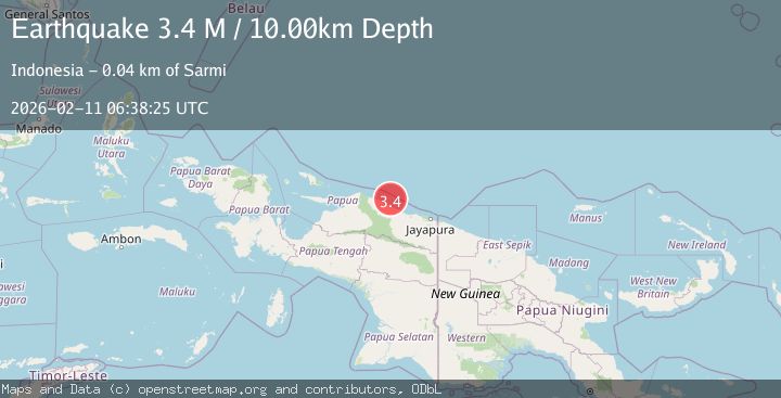
A 3.4 magnitude earthquake struck on Near North Coast of West Papua, at Wed, 11 Feb 2026 06:38:25 GMT. Depth: 10km. Reviewed by BMKG seismologists, this minor quake occurred at a magnitude type of M.
Magnitude
3.4
M
Source
BMKG
Intensity
-
Agency Reports
1 Sources| Source | Magnitude | Depth | Time |
|---|---|---|---|
| BMKGPrimary | 3.4 | 10 km | 1 week ago |
Earthquake Details
ManualEvent IDbmg2026cxku
Tsunami PotentialNo
Magnitude TypeM
Nearest Places
- Wakde22.6 km
- Pulau Insumoar23.2 km
- Pulau-pulau Wakde23.9 km
- Insumanai25.1 km
- Air Tementu26.8 km
Comments
Join the discussion about this event.
Latest Earthquakes
1.8Mag
Southern Alaska
Time3 hours ago
Depth10.00 km
SourceVYT (Automatic)
2.0Mag
Southern Alaska
Time3 hours ago
Depth29.91 km
SourceVYT (Automatic)
1.1Mag
2 km NNE of The Geysers, CA
Time3 hours ago
Depth2.51 km
SourceUSGS (Automatic)
2.2Mag
Dead Sea region
Time3 hours ago
Depth1.95 km
SourceVYT (Automatic)
2.3Mag
CENTRAL TURKEY
Time3 hours ago
Depth8.40 km
SourceKOERI (Automatic)
Nearby Earthquakes
4.0Mag
NEAR N COAST OF PAPUA, INDONESIA
Time5 months ago
Depth10.00 km
SourceBMKG (Automatic)
3.0Mag
NEAR N COAST OF PAPUA, INDONESIA
Time5 months ago
Depth10.00 km
SourceBMKG (Automatic)
3.5Mag
NEAR N COAST OF PAPUA, INDONESIA
Time1 month ago
Depth12.00 km
SourceBMKG (Automatic)
4.0Mag
NEAR N COAST OF PAPUA, INDONESIA
Time2 years ago
Depth14.00 km
SourceBMKG (Automatic)
3.0Mag
NEAR N COAST OF PAPUA, INDONESIA
Time4 months ago
Depth13.00 km
SourceBMKG (Automatic)