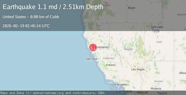
Earthquake 2 km NNE of The Geysers, CA
Thu, 19 Feb 2026 01:46:14 GMT
Time1 hour ago
Location
38.7937, -122.7490
Depth
2.5 KM
Event Summary
A 1.1 magnitude earthquake struck on 2 km NNE of The Geysers, CA, at Thu, 19 Feb 2026 01:46:14 GMT. Depth: 2.50999999046326km. Reviewed by USGS seismologists, this minor quake occurred at a magnitude type of md.
Magnitude
1.1
md
Source
USGS
Intensity
-
Agency Reports
1 Sources| Source | Magnitude | Depth | Time |
|---|---|---|---|
| USGSPrimary | 1.1 | 3 km | 1 hour ago |
Earthquake Details
AutomaticEvent IDusgs_nc75315707
Tsunami PotentialNo
Magnitude Typemd
Nearest Places
- Smudgeo Number 1 Heliport1.0 km
- Anderson-Bull Spring1.6 km
- Cobb Mountain1.7 km
- Burned Mountain2.1 km
- The Geysers2.2 km
Comments
Join the discussion about this event.
Latest Earthquakes
3.0Mag
Seram, Indonesia
Time4 minutes ago
Depth3.59 km
SourceBMKG
3.4Mag
Rat Islands, Aleutian Islands, Alaska
Time9 minutes ago
Depth112.18 km
SourceVYT (Automatic)
3.0Mag
Timor Region
Time10 minutes ago
Depth49.07 km
SourceBMKG
3.2Mag
Southern Alaska
Time10 minutes ago
Depth76.29 km
SourceVYT (Automatic)
3.4Mag
KEP. TANIMBAR REGION, INDONESIA
Time11 minutes ago
Depth89.00 km
SourceBMKG (Automatic)
Nearby Earthquakes
0.3Mag
2 km NNE of The Geysers, CA
Time2 weeks ago
Depth2.07 km
SourceUSGS (Automatic)
1.3Mag
2 km NNE of The Geysers, CA
Time2 weeks ago
Depth1.91 km
SourceUSGS (Automatic)
1.0Mag
2 km N of The Geysers, CA
Time3 weeks ago
Depth1.54 km
SourceUSGS (Automatic)
2.1Mag
NORTHERN CALIFORNIA
Time4 days ago
Depth0.50 km
SourceNC (Automatic)
1.2Mag
2 km N of The Geysers, CA
Time2 days ago
Depth-0.46 km
SourceUSGS (Automatic)