Earthquake West Papua, Indonesia
Wed, 11 Feb 2026 11:48:51 GMT
Time1 week ago
Location
-3.5030, 140.3002
Depth
21.8 KM
Event Summary
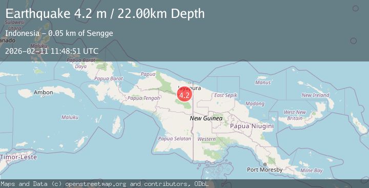
A 4.2 magnitude earthquake struck on West Papua, Indonesia, at Wed, 11 Feb 2026 11:48:51 GMT. Depth: 21.760862km. Reviewed by BMKG seismologists, this light quake occurred at a magnitude type of M.
Magnitude
4.2
M
Source
BMKG
Intensity
-
Agency Reports
2 Sources| Source | Magnitude | Depth | Time |
|---|---|---|---|
| BMKGPrimary | 4.2 | 22 km | 1 week ago |
| VYT | 3.8 | 74 km | 1 week ago |
Earthquake Details
ManualEvent IDbmg2026cxva
Tsunami PotentialNo
Magnitude TypeM
Nearest Places
- Kampung Aurina4.2 km
- Kiveh11.0 km
- Keerom River11.6 km
- Pauwasi11.8 km
- Kampung Hulu Atas15.1 km
Comments
Join the discussion about this event.
Latest Earthquakes
1.7Mag
Tarapaca, Chile
Time13 hours ago
Depth76.29 km
SourceVYT (Automatic)
2.0Mag
66 km W of Akhiok, Alaska
Time13 hours ago
Depth11.80 km
SourceUSGS (Automatic)
1.6Mag
Alaska Peninsula
Time13 hours ago
Depth0.00 km
SourceVYT (Automatic)
2.0Mag
WESTERN TURKEY
Time13 hours ago
Depth6.90 km
SourceAFAD (Automatic)
3.3Mag
OFF E. COAST OF N. ISLAND, N.Z.
Time13 hours ago
Depth230.00 km
SourceGNS (Automatic)
Nearby Earthquakes
2.2Mag
West Papua, Indonesia
Time2 weeks ago
Depth99.11 km
SourceBMKG (Automatic)
4.0Mag
PAPUA, INDONESIA
Time7 years ago
Depth10.00 km
SourceNEIC (Automatic)
2.5Mag
PAPUA, INDONESIA
Time1 month ago
Depth64.00 km
SourceBMKG (Automatic)
3.0Mag
PAPUA, INDONESIA
Time5 years ago
Depth42.00 km
SourceDJA (Automatic)
3.0Mag
PAPUA, INDONESIA
Time4 years ago
Depth22.00 km
SourceDJA (Automatic)