Earthquake Flores Sea
Thu, 12 Feb 2026 00:00:23 GMT
Time1 week ago
Location
-7.7636, 118.6687
Depth
34.2 KM
Event Summary
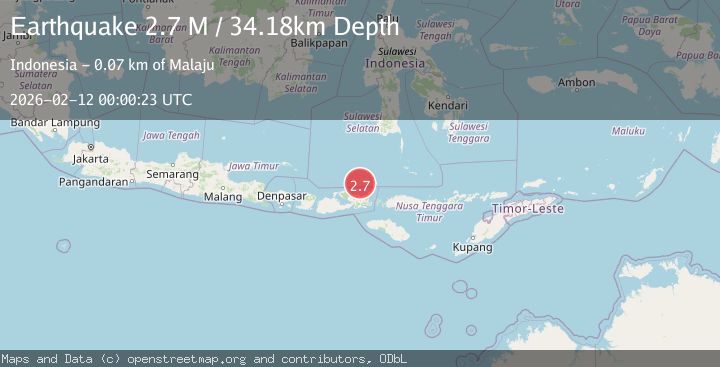
A 2.7 magnitude earthquake struck on Flores Sea, at Thu, 12 Feb 2026 00:00:23 GMT. Depth: 34.178795km. Reviewed by BMKG seismologists, this minor quake occurred at a magnitude type of M.
Magnitude
2.7
M
Source
BMKG
Intensity
-
Agency Reports
1 Sources| Source | Magnitude | Depth | Time |
|---|---|---|---|
| BMKGPrimary | 2.7 | 34 km | 1 week ago |
Earthquake Details
ManualEvent IDbmg2026cytd
Tsunami PotentialNo
Magnitude TypeM
Nearest Places
- Toro Ncia56.7 km
- Sori Sampungu56.9 km
- Toro Niu56.9 km
- Teluk Kabondo57.0 km
- Saba57.1 km
Comments
Join the discussion about this event.
Latest Earthquakes
1.5Mag
California-Baja California border region
Time23 hours ago
Depth16.24 km
SourceVYT (Automatic)
1.1Mag
6 km NW of The Geysers, CA
Time23 hours ago
Depth1.72 km
SourceUSGS (Automatic)
1.8Mag
Central Alaska
Time23 hours ago
Depth0.00 km
SourceVYT (Automatic)
1.7Mag
Southeastern Alaska
Time23 hours ago
Depth11.84 km
SourceVYT (Automatic)
2.8Mag
WESTERN TURKEY
Time23 hours ago
Depth7.00 km
SourceAFAD (Automatic)
Nearby Earthquakes
3.0Mag
FLORES SEA
Time2 years ago
Depth27.00 km
SourceBMKG (Automatic)
5.0Mag
FLORES SEA
Time17 years ago
Depth20.00 km
SourceEMSC (Automatic)
5.5Mag
FLORES SEA
Time2 years ago
Depth10.00 km
SourceEMSC (Automatic)
2.6Mag
Flores Sea
Time2 weeks ago
Depth11.45 km
SourceBMKG (Automatic)
3.0Mag
FLORES SEA
Time3 years ago
Depth48.00 km
SourceDJA (Automatic)