Earthquake Southeastern Alaska
Wed, 18 Feb 2026 02:39:29 GMT
Time8 hours ago
Location
60.4764, -139.7096
Depth
11.8 KM
Event Summary
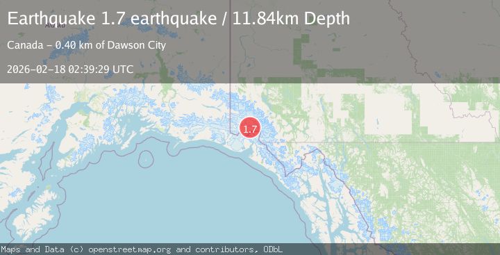
A 1.7 magnitude earthquake struck on Southeastern Alaska, at Wed, 18 Feb 2026 02:39:29 GMT. Depth: 11.8408203125km. Reviewed by VYT seismologists, this minor quake occurred at a magnitude type of earthquake.
Magnitude
1.7
earthquake
Source
VYT
Intensity
-
Agency Reports
1 Sources| Source | Magnitude | Depth | Time |
|---|---|---|---|
| VYTPrimary | 1.7 | 12 km | 8 hours ago |
Earthquake Details
AutomaticEvent IDvyt_1myq6c5aaxrh0
Tsunami PotentialNo
Magnitude Typeearthquake
Nearest Places
- Mount King George7.4 km
- Mount Vancouver13.1 km
- St. Elias Mountains15.4 km
- Marker Lake15.7 km
- Mount Queen Mary16.9 km
Comments
Join the discussion about this event.
Latest Earthquakes
1.5Mag
California-Baja California border region
Time7 hours ago
Depth16.24 km
SourceVYT (Automatic)
1.1Mag
6 km NW of The Geysers, CA
Time7 hours ago
Depth1.72 km
SourceUSGS (Automatic)
1.8Mag
Central Alaska
Time8 hours ago
Depth0.00 km
SourceVYT (Automatic)
2.8Mag
WESTERN TURKEY
Time8 hours ago
Depth7.00 km
SourceAFAD (Automatic)
1.7Mag
Southern Alaska
Time8 hours ago
Depth31.01 km
SourceVYT (Automatic)
Nearby Earthquakes
2.6Mag
SOUTHERN YUKON TERRITORY, CANADA
Time1 month ago
Depth5.00 km
SourceNEIC (Automatic)
4.0Mag
SOUTHERN YUKON TERRITORY, CANADA
Time2 months ago
Depth5.00 km
SourceAK (Automatic)
2.1Mag
Southeastern Alaska
Time1 week ago
Depth0.85 km
SourceVYT (Automatic)
4.1Mag
SOUTHERN YUKON TERRITORY, CANADA
Time1 month ago
Depth5.00 km
SourceNEIC (Automatic)
3.0Mag
SOUTHERN YUKON TERRITORY, CANADA
Time2 months ago
Depth5.00 km
SourceNEIC (Automatic)