Earthquake Flores Region, Indonesia
Thu, 12 Feb 2026 00:51:28 GMT
Time6 days ago
Location
-8.9052, 123.0828
Depth
172.1 KM
Event Summary
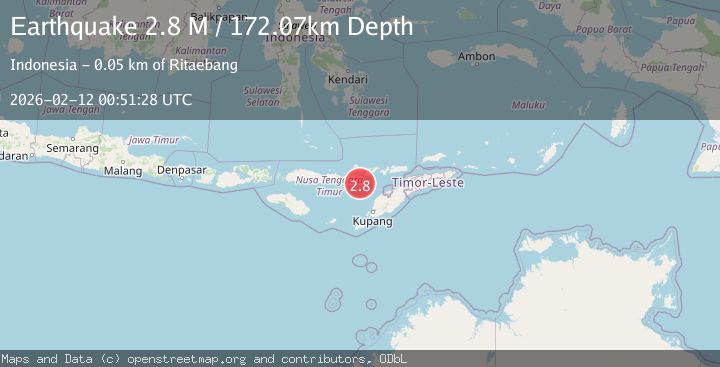
A 2.8 magnitude earthquake struck on Flores Region, Indonesia, at Thu, 12 Feb 2026 00:51:28 GMT. Depth: 172.073883km. Reviewed by BMKG seismologists, this minor quake occurred at a magnitude type of M.
Magnitude
2.8
M
Source
BMKG
Intensity
-
Agency Reports
1 Sources| Source | Magnitude | Depth | Time |
|---|---|---|---|
| BMKGPrimary | 2.8 | 172 km | 6 days ago |
Earthquake Details
ManualEvent IDbmg2026cyuv
Tsunami PotentialNo
Magnitude TypeM
Nearest Places
- Nuha Watu36.3 km
- Tanjung Tuak37.9 km
- Tanjung Tapo38.0 km
- Nuha Beleng38.2 km
- Teluk Wewa38.2 km
Comments
Join the discussion about this event.
Latest Earthquakes
2.8Mag
Antofagasta, Chile
Time6 minutes ago
Depth0.00 km
SourceVYT (Automatic)
3.3Mag
Near North Coast of West Papua
Time7 minutes ago
Depth10.00 km
SourceBMKG
2.5Mag
off the coast of Tarapaca, Chile
Time8 minutes ago
Depth0.00 km
SourceVYT (Automatic)
2.6Mag
Sunda Strait, Indonesia
Time9 minutes ago
Depth8.74 km
SourceBMKG
2.8Mag
Ceram Sea
Time10 minutes ago
Depth5.46 km
SourceBMKG
Nearby Earthquakes
5.5Mag
FLORES REGION, INDONESIA
Time6 years ago
Depth109.00 km
SourceEMSC (Automatic)
5.1Mag
FLORES REGION, INDONESIA
Time2 years ago
Depth105.00 km
SourceEMSC (Automatic)
3.0Mag
Flores Region, Indonesia
Time3 weeks ago
Depth84.08 km
SourceBMKG (Automatic)
4.0Mag
FLORES REGION, INDONESIA
Time6 years ago
Depth120.00 km
SourceNEIC (Automatic)
3.0Mag
FLORES REGION, INDONESIA
Time1 year ago
Depth29.00 km
SourceBMKG (Automatic)