Earthquake Near North Coast of West Papua
Wed, 18 Feb 2026 19:49:16 GMT
Time1 hour ago
Location
-2.0871, 139.6778
Depth
10.0 KM
Event Summary
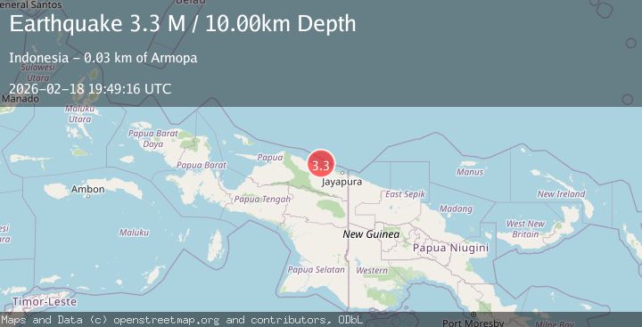
A 3.3 magnitude earthquake struck on Near North Coast of West Papua, at Wed, 18 Feb 2026 19:49:16 GMT. Depth: 10km. Reviewed by BMKG seismologists, this minor quake occurred at a magnitude type of M.
Magnitude
3.3
M
Source
BMKG
Intensity
-
Agency Reports
1 Sources| Source | Magnitude | Depth | Time |
|---|---|---|---|
| BMKGPrimary | 3.3 | 10 km | 1 hour ago |
Earthquake Details
ManualEvent IDbmg2026dlfj
Tsunami PotentialNo
Magnitude TypeM
Nearest Places
- Pulau Kaitjebo17.9 km
- Pulau Mengge18.8 km
- Pulau Anus19.3 km
- Kepulauan Podena19.8 km
- Pulau Kaicebo20.5 km
Comments
Join the discussion about this event.
Latest Earthquakes
2.8Mag
Antofagasta, Chile
Time1 hour ago
Depth0.00 km
SourceVYT (Automatic)
2.5Mag
off the coast of Tarapaca, Chile
Time1 hour ago
Depth0.00 km
SourceVYT (Automatic)
2.5Mag
Sunda Strait, Indonesia
Time1 hour ago
Depth8.74 km
SourceBMKG
2.5Mag
Ceram Sea
Time1 hour ago
Depth5.46 km
SourceBMKG
2.9Mag
WESTERN TURKEY
Time1 hour ago
Depth11.50 km
SourceAFAD (Automatic)
Nearby Earthquakes
2.5Mag
NEAR N COAST OF PAPUA, INDONESIA
Time2 weeks ago
Depth25.00 km
SourceBMKG (Automatic)
3.1Mag
NEAR N COAST OF PAPUA, INDONESIA
Time1 month ago
Depth47.00 km
SourceBMKG (Automatic)
2.7Mag
Near North Coast of West Papua
Time2 weeks ago
Depth22.48 km
SourceBMKG (Automatic)
2.8Mag
NEAR N COAST OF PAPUA, INDONESIA
Time1 month ago
Depth10.00 km
SourceBMKG (Automatic)
3.0Mag
NEAR N COAST OF PAPUA, INDONESIA
Time1 month ago
Depth15.00 km
SourceBMKG (Automatic)