Earthquake Near North Coast of West Papua
Thu, 12 Feb 2026 15:52:31 GMT
Time6 days ago
Location
-2.8889, 140.3776
Depth
40.3 KM
Event Summary
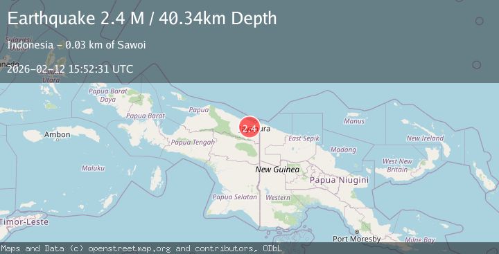
A 2.4 magnitude earthquake struck on Near North Coast of West Papua, at Thu, 12 Feb 2026 15:52:31 GMT. Depth: 40.337917km. Reviewed by BMKG seismologists, this minor quake occurred at a magnitude type of M.
Magnitude
2.4
M
Source
BMKG
Intensity
-
Agency Reports
1 Sources| Source | Magnitude | Depth | Time |
|---|---|---|---|
| BMKGPrimary | 2.4 | 40 km | 6 days ago |
Earthquake Details
ManualEvent IDbmg2026czyo
Tsunami PotentialNo
Magnitude TypeM
Nearest Places
- Gunung Nimboran10.8 km
- Kampung Kwarja11.2 km
- Kampung Skanto11.8 km
- Kampung Yanbra14.6 km
- Skoaim15.6 km
Comments
Join the discussion about this event.
Latest Earthquakes
1.6Mag
Kenai Peninsula, Alaska
Time9 hours ago
Depth42.60 km
SourceVYT (Automatic)
2.4Mag
Finland
Time9 hours ago
Depth301.88 km
SourceVYT (Automatic)
1.2Mag
Alaska Peninsula
Time9 hours ago
Depth0.12 km
SourceVYT (Automatic)
4.1Mag
NEAR COAST OF NORTHERN PERU
Time9 hours ago
Depth35.00 km
SourceLIM (Automatic)
3.1Mag
DODECANESE IS.-TURKEY BORDER REG
Time9 hours ago
Depth4.10 km
SourceKOERI (Automatic)
Nearby Earthquakes
3.0Mag
Near North Coast of West Papua
Time3 days ago
Depth9.06 km
SourceBMKG
2.9Mag
NEAR N COAST OF PAPUA, INDONESIA
Time1 month ago
Depth10.00 km
SourceBMKG (Automatic)
4.0Mag
NEAR N COAST OF PAPUA, INDONESIA
Time7 years ago
Depth22.00 km
SourceDJA (Automatic)
4.0Mag
NEAR N COAST OF PAPUA, INDONESIA
Time6 years ago
Depth23.00 km
SourceDJA (Automatic)
4.0Mag
NEAR N COAST OF PAPUA, INDONESIA
Time1 year ago
Depth10.00 km
SourceBMKG (Automatic)