Earthquake Sumbawa Region, Indonesia
Thu, 12 Feb 2026 16:44:31 GMT
Time6 days ago
Location
-9.3545, 116.3513
Depth
10.0 KM
Event Summary
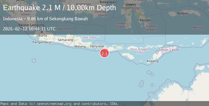
A 2.1 magnitude earthquake struck on Sumbawa Region, Indonesia, at Thu, 12 Feb 2026 16:44:31 GMT. Depth: 10km. Reviewed by BMKG seismologists, this minor quake occurred at a magnitude type of M.
Magnitude
2.1
M
Source
BMKG
Intensity
-
Agency Reports
1 Sources| Source | Magnitude | Depth | Time |
|---|---|---|---|
| BMKGPrimary | 2.1 | 10 km | 6 days ago |
Earthquake Details
ManualEvent IDbmg2026daag
Tsunami PotentialNo
Magnitude TypeM
Nearest Places
- Pulau Gilisaya43.3 km
- Tanjung Bilesayang44.5 km
- Gili Sayang44.5 km
- Gili Penginang44.5 km
- Gili Anak Ewuq44.6 km
Comments
Join the discussion about this event.
Latest Earthquakes
2.8Mag
Minahasa, Sulawesi, Indonesia
Time5 minutes ago
Depth3.17 km
SourceVYT (Automatic)
2.6Mag
Antofagasta, Chile
Time6 minutes ago
Depth125.12 km
SourceVYT (Automatic)
1.3Mag
11 km WSW of Stanton, Texas
Time6 minutes ago
Depth4.19 km
SourceUSGS (Automatic)
0.8Mag
7 km NW of The Geysers, CA
Time10 minutes ago
Depth1.32 km
SourceUSGS (Automatic)
2.7Mag
San Juan, Argentina
Time14 minutes ago
Depth363.53 km
SourceVYT (Automatic)
Nearby Earthquakes
2.8Mag
LOMBOK REGION, INDONESIA
Time1 month ago
Depth10.00 km
SourceBMKG (Automatic)
2.7Mag
Sumbawa Region, Indonesia
Time3 weeks ago
Depth29.18 km
SourceBMKG (Automatic)
2.5Mag
LOMBOK REGION, INDONESIA
Time1 month ago
Depth35.00 km
SourceBMKG (Automatic)
3.0Mag
LOMBOK REGION, INDONESIA
Time4 months ago
Depth46.00 km
SourceBMKG (Automatic)
3.0Mag
LOMBOK REGION, INDONESIA
Time5 years ago
Depth38.00 km
SourceDJA (Automatic)