Earthquake Timor Region
Thu, 12 Feb 2026 17:13:35 GMT
Time6 days ago
Location
-8.9870, 124.1694
Depth
65.5 KM
Event Summary
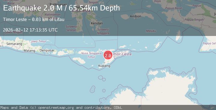
A 2.0 magnitude earthquake struck on Timor Region, at Thu, 12 Feb 2026 17:13:35 GMT. Depth: 65.535431km. Reviewed by BMKG seismologists, this minor quake occurred at a magnitude type of M.
Magnitude
2.0
M
Source
BMKG
Intensity
-
Agency Reports
1 Sources| Source | Magnitude | Depth | Time |
|---|---|---|---|
| BMKGPrimary | 2.0 | 66 km | 6 days ago |
Earthquake Details
ManualEvent IDbmg2026dabf
Tsunami PotentialNo
Magnitude TypeM
Nearest Places
- Estuary Pepan28.3 km
- Kali Tono28.4 km
- Point Lipaupar28.4 km
- Lifau28.5 km
- Point Bokon28.5 km
Comments
Join the discussion about this event.
Latest Earthquakes
2.6Mag
Java, Indonesia
Time7 minutes ago
Depth16.69 km
SourceBMKG
0.8Mag
7 km NW of The Geysers, CA
Time7 minutes ago
Depth2.76 km
SourceUSGS (Automatic)
1.9Mag
Kenai Peninsula, Alaska
Time9 minutes ago
Depth19.17 km
SourceVYT (Automatic)
1.3Mag
8 km NW of The Geysers, CA
Time16 minutes ago
Depth1.51 km
SourceUSGS (Automatic)
2.2Mag
Southeastern Alaska
Time17 minutes ago
Depth0.00 km
SourceVYT (Automatic)
Nearby Earthquakes
2.7Mag
TIMOR REGION
Time1 month ago
Depth68.00 km
SourceBMKG (Automatic)
3.3Mag
Timor Region
Time3 weeks ago
Depth47.49 km
SourceBMKG (Automatic)
3.0Mag
TIMOR REGION
Time4 years ago
Depth48.00 km
SourceDJA (Automatic)
5.0Mag
KEPULAUAN ALOR, INDONESIA
Time4 years ago
Depth80.00 km
SourceEMSC (Automatic)
3.8Mag
Timor Region
Time2 weeks ago
Depth77.41 km
SourceBMKG (Automatic)