Earthquake Near North Coast of West Papua
Thu, 12 Feb 2026 23:12:45 GMT
Time5 days ago
Location
-2.7015, 139.2052
Depth
24.6 KM
Event Summary
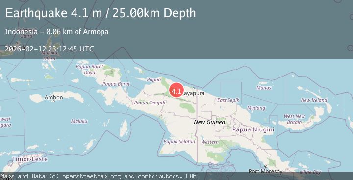
A 4.1 magnitude earthquake struck on Near North Coast of West Papua, at Thu, 12 Feb 2026 23:12:45 GMT. Depth: 24.572893km. Reviewed by BMKG seismologists, this light quake occurred at a magnitude type of M.
Magnitude
4.1
M
Source
BMKG
Intensity
-
Agency Reports
1 Sources| Source | Magnitude | Depth | Time |
|---|---|---|---|
| BMKGPrimary | 4.1 | 25 km | 5 days ago |
Earthquake Details
ManualEvent IDbmg2026danb
Tsunami PotentialNo
Magnitude TypeM
Nearest Places
- Kampung Betaf Dua7.0 km
- Kampung Betaf7.8 km
- Pegunungan Karamoor10.8 km
- Distrik Pantai Timur13.0 km
- Kampung Komra17.2 km
Comments
Join the discussion about this event.
Latest Earthquakes
2.5Mag
San Juan, Argentina
Time5 minutes ago
Depth363.53 km
SourceVYT (Automatic)
2.4Mag
Java, Indonesia
Time6 minutes ago
Depth102.46 km
SourceBMKG
3.9Mag
Halmahera, Indonesia
Time8 minutes ago
Depth161.01 km
SourceVYT (Automatic)
1.0Mag
3 km W of Cobb, CA
Time9 minutes ago
Depth2.45 km
SourceUSGS (Automatic)
4.4Mag
NEAR EAST COAST OF HONSHU, JAPAN
Time11 minutes ago
Depth30.00 km
SourceJMA (Automatic)
Nearby Earthquakes
5.1Mag
NEAR N COAST OF PAPUA, INDONESIA
Time10 years ago
Depth59.00 km
SourceEMSC (Automatic)
4.9Mag
NEAR N COAST OF PAPUA, INDONESIA
Time1 month ago
Depth42.00 km
SourceEMSC (Automatic)
5.1Mag
NEAR N COAST OF PAPUA, INDONESIA
Time3 years ago
Depth33.00 km
SourceEMSC (Automatic)
5.6Mag
NEAR N COAST OF PAPUA, INDONESIA
Time13 years ago
Depth48.00 km
SourceEMSC (Automatic)
5.3Mag
NEAR N COAST OF PAPUA, INDONESIA
Time20 years ago
Depth80.00 km
SourceEMSC (Automatic)