Earthquake NEAR N COAST OF PAPUA, INDONESIA
Sun, 18 Jan 2026 01:15:14 GMT
Time1 month ago
Location
-2.6756, 139.2274
Depth
42.0 KM
Event Summary
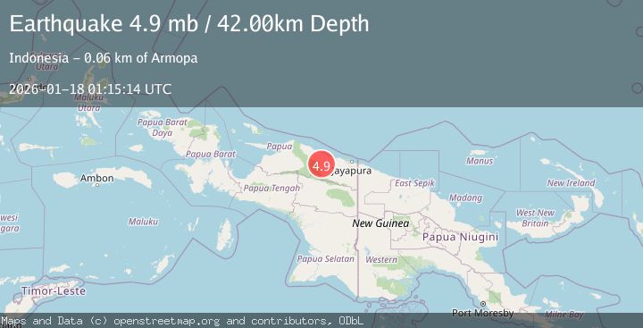
A 4.9 magnitude earthquake struck on NEAR N COAST OF PAPUA, INDONESIA, at Sun, 18 Jan 2026 01:15:14 GMT. Depth: 42km. Reviewed by EMSC seismologists, this light quake occurred at a magnitude type of mb.
Magnitude
4.9
mb
Source
EMSC
Intensity
-
Agency Reports
1 Sources| Source | Magnitude | Depth | Time |
|---|---|---|---|
| EMSCPrimary | 4.9 | 42 km | 1 month ago |
Earthquake Details
AutomaticEvent IDemsc_EMSC_20260118_0000022
Tsunami PotentialNo
Magnitude Typemb
Nearest Places
- Pegunungan Karamoor7.0 km
- Kampung Betaf9.4 km
- Kampung Betaf Dua10.4 km
- Distrik Pantai Timur15.3 km
- Kampung Komra15.9 km
Comments
Join the discussion about this event.
Latest Earthquakes
2.0Mag
Antofagasta, Chile
Time52 seconds ago
Depth138.31 km
SourceVYT (Automatic)
2.1Mag
Southern Alaska
Time3 minutes ago
Depth64.21 km
SourceVYT (Automatic)
2.5Mag
Central Alaska
Time8 minutes ago
Depth312.99 km
SourceVYT (Automatic)
3.6Mag
Banda Sea
Time15 minutes ago
Depth0.00 km
SourceVYT (Automatic)
1.9Mag
western Texas
Time19 minutes ago
Depth0.24 km
SourceVYT (Automatic)
Nearby Earthquakes
5.3Mag
NEAR N COAST OF PAPUA, INDONESIA
Time20 years ago
Depth80.00 km
SourceEMSC (Automatic)
4.1Mag
Near North Coast of West Papua
Time6 days ago
Depth24.57 km
SourceBMKG
4.0Mag
NEAR N COAST OF PAPUA, INDONESIA
Time2 years ago
Depth10.00 km
SourceBMKG (Automatic)
5.1Mag
NEAR N COAST OF PAPUA, INDONESIA
Time10 years ago
Depth59.00 km
SourceEMSC (Automatic)
5.0Mag
NEAR N COAST OF PAPUA, INDONESIA
Time4 months ago
Depth29.10 km
SourceEMSC (Automatic)