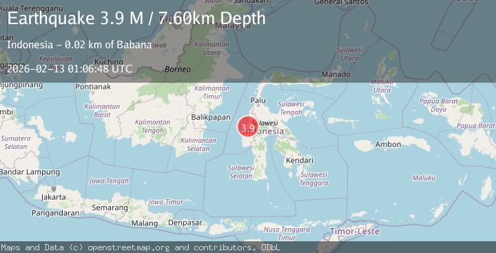
Earthquake Sulawesi, Indonesia
Fri, 13 Feb 2026 01:06:48 GMT
Time1 week ago
Location
-2.2027, 119.2631
Depth
7.6 KM
Event Summary
A 3.9 magnitude earthquake struck on Sulawesi, Indonesia, at Fri, 13 Feb 2026 01:06:48 GMT. Depth: 7.603164km. Reviewed by BMKG seismologists, this minor quake occurred at a magnitude type of M.
Magnitude
3.9
M
Source
BMKG
Intensity
-
Agency Reports
1 Sources| Source | Magnitude | Depth | Time |
|---|---|---|---|
| BMKGPrimary | 3.9 | 8 km | 1 week ago |
Earthquake Details
ManualEvent IDbmg2026daqv
Tsunami PotentialNo
Magnitude TypeM
Nearest Places
- Desa Lembah Hada0.9 km
- Desa Bojo3.8 km
- Desa Tinali3.9 km
- Lelo Tinali4.0 km
- Desa Pontanakayang4.2 km
Comments
Join the discussion about this event.
Latest Earthquakes
3.1Mag
Caribbean Sea
Time11 hours ago
Depth226.81 km
SourceVYT (Automatic)
3.4Mag
West Papua Region, Indonesia
Time11 hours ago
Depth54.58 km
SourceBMKG
3.8Mag
near the north coast of Colombia
Time11 hours ago
Depth0.00 km
SourceVYT (Automatic)
2.6Mag
Minahasa, Sulawesi, Indonesia
Time11 hours ago
Depth0.00 km
SourceVYT (Automatic)
2.5Mag
TARAPACA, CHILE
Time11 hours ago
Depth51.40 km
SourceCSN (Automatic)
Nearby Earthquakes
3.1Mag
SULAWESI, INDONESIA
Time1 month ago
Depth3.00 km
SourceBMKG (Automatic)
2.4Mag
Sulawesi, Indonesia
Time2 weeks ago
Depth6.22 km
SourceBMKG (Automatic)
3.0Mag
SULAWESI, INDONESIA
Time5 years ago
Depth11.00 km
SourceDJA (Automatic)
5.4Mag
SULAWESI, INDONESIA
Time5 years ago
Depth26.00 km
SourceEMSC (Automatic)
2.5Mag
SULAWESI, INDONESIA
Time1 month ago
Depth10.00 km
SourceBMKG (Automatic)