Earthquake West Papua Region, Indonesia
Fri, 20 Feb 2026 04:06:21 GMT
Time1 hour ago
Location
-3.5559, 135.8689
Depth
54.6 KM
Event Summary
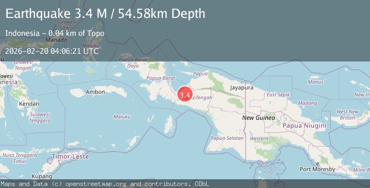
A 3.4 magnitude earthquake struck on West Papua Region, Indonesia, at Fri, 20 Feb 2026 04:06:21 GMT. Depth: 54.582142km. Reviewed by BMKG seismologists, this minor quake occurred at a magnitude type of M.
Magnitude
3.4
M
Source
BMKG
Intensity
-
Agency Reports
1 Sources| Source | Magnitude | Depth | Time |
|---|---|---|---|
| BMKGPrimary | 3.4 | 55 km | 1 hour ago |
Earthquake Details
ManualEvent IDbmg2026dnrh
Tsunami PotentialNo
Magnitude TypeM
Nearest Places
- Kampung Unipo4.6 km
- Utuwa8.1 km
- Sawa8.2 km
- Gebroeders12.7 km
- Kampung Ugida15.8 km
Comments
Join the discussion about this event.
Latest Earthquakes
3.8Mag
near the north coast of Colombia
Time1 hour ago
Depth0.00 km
SourceVYT (Automatic)
2.6Mag
Minahasa, Sulawesi, Indonesia
Time1 hour ago
Depth0.00 km
SourceVYT (Automatic)
2.5Mag
TARAPACA, CHILE
Time1 hour ago
Depth51.40 km
SourceCSN (Automatic)
2.8Mag
Bali Region, Indonesia
Time1 hour ago
Depth22.77 km
SourceBMKG
2.9Mag
CRETE, GREECE
Time1 hour ago
Depth13.90 km
SourceNOA (Automatic)
Nearby Earthquakes
3.5Mag
West Papua Region, Indonesia
Time3 weeks ago
Depth11.71 km
SourceBMKG (Automatic)
3.0Mag
PAPUA, INDONESIA
Time1 year ago
Depth10.00 km
SourceBMKG (Automatic)
3.0Mag
PAPUA, INDONESIA
Time3 weeks ago
Depth10.00 km
SourceBMKG (Automatic)
4.0Mag
PAPUA, INDONESIA
Time1 month ago
Depth42.00 km
SourceBMKG (Automatic)
3.1Mag
PAPUA, INDONESIA
Time1 month ago
Depth29.00 km
SourceBMKG (Automatic)