Earthquake Bali Sea
Fri, 13 Feb 2026 05:21:15 GMT
Time5 days ago
Location
-7.9936, 114.2253
Depth
12.3 KM
Event Summary
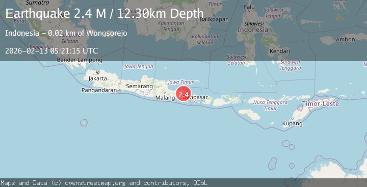
A 2.4 magnitude earthquake struck on Bali Sea, at Fri, 13 Feb 2026 05:21:15 GMT. Depth: 12.30031km. Reviewed by BMKG seismologists, this minor quake occurred at a magnitude type of M.
Magnitude
2.4
M
Source
BMKG
Intensity
-
Agency Reports
1 Sources| Source | Magnitude | Depth | Time |
|---|---|---|---|
| BMKGPrimary | 2.4 | 12 km | 5 days ago |
Earthquake Details
ManualEvent IDbmg2026dazf
Tsunami PotentialNo
Magnitude TypeM
Nearest Places
- Gunung Kukusan1.2 km
- Girimulyo1.6 km
- Pegunungan Kendeng1.7 km
- Gunung Ringit1.8 km
- Lerpenang2.4 km
Comments
Join the discussion about this event.
Latest Earthquakes
3.1Mag
SPAIN
Time4 minutes ago
Depth5.00 km
SourceIGN (Automatic)
2.3Mag
Tarapaca, Chile
Time4 minutes ago
Depth115.60 km
SourceVYT (Automatic)
1.2Mag
19 km NNE of Indio, CA
Time7 minutes ago
Depth4.86 km
SourceUSGS (Automatic)
2.5Mag
northwestern Russia
Time10 minutes ago
Depth0.00 km
SourceVYT (Automatic)
1.8Mag
54 km S of Whites City, New Mexico
Time12 minutes ago
Depth6.07 km
SourceUSGS (Automatic)
Nearby Earthquakes
2.5Mag
BALI REGION, INDONESIA
Time1 month ago
Depth7.00 km
SourceBMKG (Automatic)
4.0Mag
BALI SEA
Time6 months ago
Depth10.00 km
SourceBMKG (Automatic)
3.0Mag
BALI SEA
Time6 months ago
Depth11.00 km
SourceBMKG (Automatic)
3.0Mag
BALI SEA
Time5 years ago
Depth10.00 km
SourceDJA (Automatic)
2.7Mag
Bali Sea
Time5 days ago
Depth7.89 km
SourceBMKG