Earthquake Bali Sea
Fri, 13 Feb 2026 17:46:00 GMT
Time5 days ago
Location
-7.9734, 114.1838
Depth
7.9 KM
Event Summary
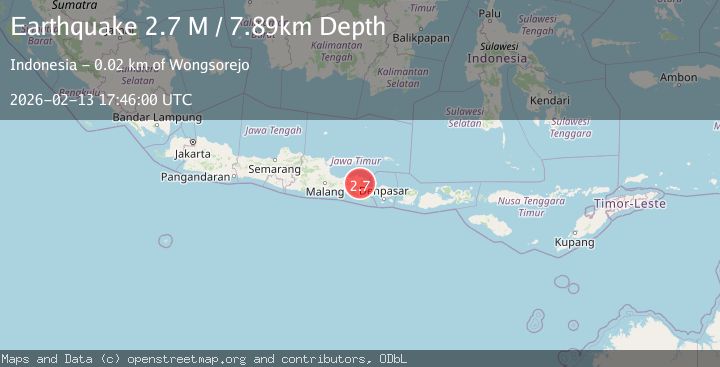
A 2.7 magnitude earthquake struck on Bali Sea, at Fri, 13 Feb 2026 17:46:00 GMT. Depth: 7.894397km. Reviewed by BMKG seismologists, this minor quake occurred at a magnitude type of M.
Magnitude
2.7
M
Source
BMKG
Intensity
-
Agency Reports
1 Sources| Source | Magnitude | Depth | Time |
|---|---|---|---|
| BMKGPrimary | 2.7 | 8 km | 5 days ago |
Earthquake Details
ManualEvent IDbmg2026dbxv
Tsunami PotentialNo
Magnitude TypeM
Nearest Places
- Kali Ampar1.7 km
- Kali Pait1.7 km
- Panggong1.8 km
- Kalisengon2.0 km
- Blawan2.1 km
Comments
Join the discussion about this event.
Latest Earthquakes
1.2Mag
Central Alaska
Time1 hour ago
Depth43.82 km
SourceVYT (Automatic)
1.6Mag
58 km S of Whites City, New Mexico
Time1 hour ago
Depth4.17 km
SourceUSGS (Automatic)
1.3Mag
54 km WNW of Toyah, Texas
Time1 hour ago
Depth0.00 km
SourceUSGS (Automatic)
3.1Mag
Oruro, Bolivia
Time2 hours ago
Depth189.21 km
SourceVYT (Automatic)
3.4Mag
OFF COAST OF COSTA RICA
Time2 hours ago
Depth10.00 km
SourceINET (Automatic)
Nearby Earthquakes
3.0Mag
BALI SEA
Time6 months ago
Depth11.00 km
SourceBMKG (Automatic)
3.0Mag
BALI SEA
Time5 years ago
Depth10.00 km
SourceDJA (Automatic)
3.0Mag
BALI SEA
Time6 months ago
Depth10.00 km
SourceBMKG (Automatic)
2.5Mag
BALI REGION, INDONESIA
Time1 month ago
Depth7.00 km
SourceBMKG (Automatic)
2.4Mag
Bali Sea
Time5 days ago
Depth12.30 km
SourceBMKG