Earthquake South of Timor, Indonesia
Fri, 13 Feb 2026 13:31:41 GMT
Time1 week ago
Location
-11.0312, 122.0629
Depth
36.3 KM
Event Summary
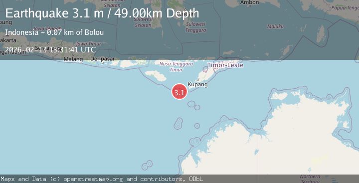
A 3.1 magnitude earthquake struck on South of Timor, Indonesia, at Fri, 13 Feb 2026 13:31:41 GMT. Depth: 36.269447km. Reviewed by BMKG seismologists, this minor quake occurred at a magnitude type of M.
Magnitude
3.1
M
Source
BMKG
Intensity
-
Agency Reports
1 Sources| Source | Magnitude | Depth | Time |
|---|---|---|---|
| BMKGPrimary | 3.1 | 49 km | 1 week ago |
Earthquake Details
ManualEvent IDbmg2026dbpk
Tsunami PotentialNo
Magnitude TypeM
Nearest Places
- 50.3 km
- 50.5 km
- 50.5 km
- 50.5 km
- 50.7 km
Comments
Join the discussion about this event.
Latest Earthquakes
2.2Mag
Java, Indonesia
Time18 hours ago
Depth26.44 km
SourceBMKG
0.6Mag
9 km NW of The Geysers, CA
Time18 hours ago
Depth2.06 km
SourceUSGS (Automatic)
1.2Mag
WESTERN TURKEY
Time18 hours ago
Depth7.60 km
SourceAFAD (Automatic)
3.5Mag
Flores region, Indonesia
Time18 hours ago
Depth638.55 km
SourceVYT (Automatic)
3.2Mag
South of Java, Indonesia
Time18 hours ago
Depth64.99 km
SourceBMKG
Nearby Earthquakes
3.1Mag
South of Timor, Indonesia
Time2 weeks ago
Depth29.45 km
SourceBMKG (Automatic)
4.0Mag
SOUTH OF TIMOR
Time1 year ago
Depth56.00 km
SourceBMKG (Automatic)
3.1Mag
SOUTH OF TIMOR
Time1 month ago
Depth10.00 km
SourceBMKG (Automatic)
3.5Mag
South of Timor, Indonesia
Time1 week ago
Depth33.65 km
SourceBMKG (Automatic)
5.2Mag
SOUTH OF TIMOR
Time12 years ago
Depth4.00 km
SourceEMSC (Automatic)