Earthquake SOUTH OF TIMOR
Mon, 12 Jan 2026 02:45:43 GMT
Time1 month ago
Location
-11.3500, 121.9300
Depth
10.0 KM
Event Summary
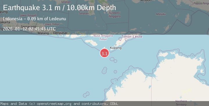
A 3.1 magnitude earthquake struck on SOUTH OF TIMOR, at Mon, 12 Jan 2026 02:45:43 GMT. Depth: 10km. Reviewed by BMKG seismologists, this minor quake occurred at a magnitude type of m.
Magnitude
3.1
m
Source
BMKG
Intensity
-
Agency Reports
1 Sources| Source | Magnitude | Depth | Time |
|---|---|---|---|
| BMKGPrimary | 3.1 | 10 km | 1 month ago |
Earthquake Details
AutomaticEvent IDemsc_BMKG_20260112_0000047
Tsunami PotentialNo
Magnitude Typem
Nearest Places
- 81.2 km
- 81.2 km
- 81.4 km
- 81.6 km
- 81.6 km
Comments
Join the discussion about this event.
Latest Earthquakes
2.4Mag
Papua, Indonesia
Time1 minute ago
Depth2.81 km
SourceVYT (Automatic)
1.0Mag
3 km N of The Geysers, CA
Time2 minutes ago
Depth-0.19 km
SourceUSGS (Automatic)
3.9Mag
Salta, Argentina
Time3 minutes ago
Depth210.82 km
SourceVYT (Automatic)
2.1Mag
Alaska Peninsula
Time4 minutes ago
Depth0.61 km
SourceVYT (Automatic)
0.8Mag
Northern Territory, Australia
Time9 minutes ago
Depth24.29 km
SourceVYT (Automatic)
Nearby Earthquakes
5.2Mag
SOUTH OF TIMOR
Time12 years ago
Depth4.00 km
SourceEMSC (Automatic)
3.1Mag
South of Timor, Indonesia
Time2 weeks ago
Depth29.45 km
SourceBMKG (Automatic)
3.5Mag
South of Timor, Indonesia
Time1 week ago
Depth33.65 km
SourceBMKG (Automatic)
3.1Mag
South of Timor, Indonesia
Time1 week ago
Depth36.27 km
SourceBMKG
4.0Mag
SOUTH OF TIMOR
Time1 year ago
Depth56.00 km
SourceBMKG (Automatic)