Earthquake Timor Region
Fri, 13 Feb 2026 13:51:52 GMT
Time4 days ago
Location
-10.2161, 124.8208
Depth
14.8 KM
Event Summary
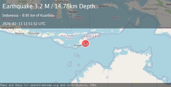
A 3.2 magnitude earthquake struck on Timor Region, at Fri, 13 Feb 2026 13:51:52 GMT. Depth: 14.781152km. Reviewed by BMKG seismologists, this minor quake occurred at a magnitude type of M.
Magnitude
3.2
M
Source
BMKG
Intensity
-
Agency Reports
1 Sources| Source | Magnitude | Depth | Time |
|---|---|---|---|
| BMKGPrimary | 3.2 | 15 km | 4 days ago |
Earthquake Details
ManualEvent IDbmg2026dbqb
Tsunami PotentialNo
Magnitude TypeM
Nearest Places
- Teluk Kolbano33.0 km
- Noefefan Tualeu34.9 km
- Noefefan Snuel34.9 km
- Noe Oeleo34.9 km
- Tanjung Fatubeno34.9 km
Comments
Join the discussion about this event.
Latest Earthquakes
2.2Mag
Seram, Indonesia
Time8 hours ago
Depth19.61 km
SourceBMKG
2.2Mag
Sweden
Time8 hours ago
Depth0.00 km
SourceVYT (Automatic)
1.5Mag
Southeastern Alaska
Time8 hours ago
Depth0.00 km
SourceVYT (Automatic)
1.6Mag
5 km NNW of Boron, CA
Time9 hours ago
Depth-0.63 km
SourceUSGS (Automatic)
2.3Mag
Ceram Sea
Time9 hours ago
Depth10.00 km
SourceBMKG
Nearby Earthquakes
5.0Mag
TIMOR REGION, INDONESIA
Time16 years ago
Depth15.00 km
SourceEMSC (Automatic)
3.0Mag
TIMOR REGION, INDONESIA
Time3 years ago
Depth10.00 km
SourceDJA (Automatic)
4.0Mag
TIMOR REGION, INDONESIA
Time5 months ago
Depth13.00 km
SourceBMKG (Automatic)
2.5Mag
TIMOR SEA
Time1 month ago
Depth0.00 km
SourceBMKG (Automatic)
3.1Mag
TIMOR SEA
Time1 month ago
Depth15.00 km
SourceBMKG (Automatic)