Earthquake Minahassa Peninsula, Sulawesi
Sat, 14 Feb 2026 02:30:13 GMT
Time5 days ago
Location
0.9923, 122.4256
Depth
113.6 KM
Event Summary
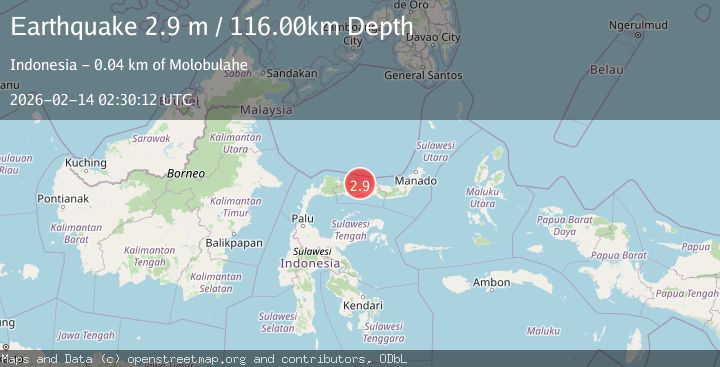
A 2.9 magnitude earthquake struck on Minahassa Peninsula, Sulawesi, at Sat, 14 Feb 2026 02:30:13 GMT. Depth: 113.560852km. Reviewed by BMKG seismologists, this minor quake occurred at a magnitude type of M.
Magnitude
2.9
M
Source
BMKG
Intensity
-
Agency Reports
1 Sources| Source | Magnitude | Depth | Time |
|---|---|---|---|
| BMKGPrimary | 2.9 | 116 km | 5 days ago |
Earthquake Details
ManualEvent IDbmg2026dcpc
Tsunami PotentialNo
Magnitude TypeM
Nearest Places
- Dutula Kanto0.1 km
- Pantai0.8 km
- Dutula Bolontio1.0 km
- Diambu1.0 km
- Libuiyo Bolontio1.1 km
Comments
Join the discussion about this event.
Latest Earthquakes
2.3Mag
Southern Alaska
Time4 minutes ago
Depth0.00 km
SourceVYT (Automatic)
2.2Mag
Timor Region
Time5 minutes ago
Depth59.05 km
SourceBMKG
3.5Mag
Tanimbar Islands Region, Indonesia
Time6 minutes ago
Depth358.34 km
SourceBMKG
1.8Mag
Antofagasta, Chile
Time6 minutes ago
Depth123.66 km
SourceVYT (Automatic)
1.6Mag
17 km ENE of Garden City, Texas
Time11 minutes ago
Depth3.48 km
SourceUSGS (Automatic)
Nearby Earthquakes
3.3Mag
Minahassa Peninsula, Sulawesi
Time2 weeks ago
Depth5.00 km
SourceBMKG (Automatic)
3.0Mag
MINAHASA, SULAWESI, INDONESIA
Time5 years ago
Depth39.00 km
SourceDJA (Automatic)
3.0Mag
MINAHASA, SULAWESI, INDONESIA
Time4 years ago
Depth10.00 km
SourceDJA (Automatic)
2.4Mag
Minahassa Peninsula, Sulawesi
Time3 weeks ago
Depth10.24 km
SourceBMKG (Automatic)
3.7Mag
Minahasa, Sulawesi, Indonesia
Time1 week ago
Depth27.22 km
SourceVYT (Automatic)