Earthquake Minahasa, Sulawesi, Indonesia
Thu, 12 Feb 2026 02:21:27 GMT
Time1 week ago
Location
0.8703, 122.3844
Depth
27.2 KM
Event Summary
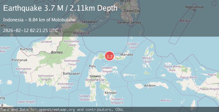
A 3.7 magnitude earthquake struck on Minahasa, Sulawesi, Indonesia, at Thu, 12 Feb 2026 02:21:27 GMT. Depth: 27.2216796875km. Reviewed by VYT seismologists, this minor quake occurred at a magnitude type of earthquake.
Magnitude
3.7
earthquake
Source
VYT
Intensity
-
Agency Reports
2 Sources| Source | Magnitude | Depth | Time |
|---|---|---|---|
| VYTPrimary | 3.6 | 27 km | 1 week ago |
| BMKG | 3.7 | 2 km | 1 week ago |
Earthquake Details
AutomaticEvent IDvyt_3ireihk9npctt
Tsunami PotentialNo
Magnitude Typeearthquake
Nearest Places
- Dutula Uwelelito2.3 km
- Dutula Dulamayo2.8 km
- Huidu Tombulato3.3 km
- Huidu Polalodupoto3.4 km
- Kecamatan Asparaga3.8 km
Comments
Join the discussion about this event.
Latest Earthquakes
4.8Mag
Antofagasta, Chile
Time19 hours ago
Depth196.90 km
SourceVYT (Automatic)
2.9Mag
Antofagasta, Chile
Time19 hours ago
Depth116.58 km
SourceVYT (Automatic)
3.0Mag
Minahasa, Sulawesi, Indonesia
Time19 hours ago
Depth288.45 km
SourceVYT (Automatic)
1.8Mag
Central Alaska
Time20 hours ago
Depth103.03 km
SourceVYT (Automatic)
2.6Mag
Northern Sumatra, Indonesia
Time20 hours ago
Depth20.84 km
SourceBMKG
Nearby Earthquakes
2.4Mag
Minahassa Peninsula, Sulawesi
Time3 weeks ago
Depth10.24 km
SourceBMKG (Automatic)
3.0Mag
MINAHASA, SULAWESI, INDONESIA
Time4 years ago
Depth10.00 km
SourceDJA (Automatic)
3.3Mag
Minahassa Peninsula, Sulawesi
Time2 weeks ago
Depth5.00 km
SourceBMKG (Automatic)
4.0Mag
MINAHASA, SULAWESI, INDONESIA
Time7 years ago
Depth72.00 km
SourceDJA (Automatic)
4.0Mag
MINAHASA, SULAWESI, INDONESIA
Time1 year ago
Depth23.00 km
SourceBMKG (Automatic)