Earthquake Northern Molucca Sea
Sat, 14 Feb 2026 02:33:01 GMT
Time4 days ago
Location
2.4800, 126.9275
Depth
10.0 KM
Event Summary
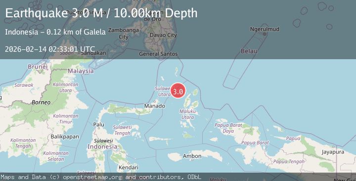
A 3.0 magnitude earthquake struck on Northern Molucca Sea, at Sat, 14 Feb 2026 02:33:01 GMT. Depth: 10km. Reviewed by BMKG seismologists, this minor quake occurred at a magnitude type of M.
Magnitude
3.0
M
Source
BMKG
Intensity
-
Agency Reports
1 Sources| Source | Magnitude | Depth | Time |
|---|---|---|---|
| BMKGPrimary | 3.0 | 10 km | 4 days ago |
Earthquake Details
ManualEvent IDbmg2026dcpf
Tsunami PotentialNo
Magnitude TypeM
Nearest Places
- Pulau Laba92.4 km
- Pulau Deherete93.3 km
- Tanjung Gurama93.7 km
- Desa Jikolamo95.2 km
- Jikolamo95.8 km
Comments
Join the discussion about this event.
Latest Earthquakes
1.7Mag
40 km NW of Toyah, Texas
Time20 hours ago
Depth4.25 km
SourceUSGS (Automatic)
1.3Mag
SWITZERLAND
Time20 hours ago
Depth7.60 km
SourceETHZ (Automatic)
2.7Mag
Andreanof Islands, Aleutian Islands, Alaska
Time20 hours ago
Depth29.17 km
SourceVYT (Automatic)
1.6Mag
44 km NW of Toyah, Texas
Time20 hours ago
Depth0.00 km
SourceUSGS (Automatic)
2.2Mag
Washington
Time20 hours ago
Depth27.59 km
SourceVYT (Automatic)
Nearby Earthquakes
5.0Mag
MOLUCCA SEA
Time15 years ago
Depth60.00 km
SourceEMSC (Automatic)
3.0Mag
MOLUCCA SEA
Time9 months ago
Depth10.00 km
SourceBMKG (Automatic)
5.1Mag
MOLUCCA SEA
Time14 years ago
Depth60.00 km
SourceEMSC (Automatic)
3.1Mag
MOLUCCA SEA
Time1 month ago
Depth75.00 km
SourceBMKG (Automatic)
4.0Mag
MOLUCCA SEA
Time7 years ago
Depth10.00 km
SourceDJA (Automatic)