Earthquake 44 km NW of Toyah, Texas
Tue, 17 Feb 2026 22:21:28 GMT
Time10 hours ago
Location
31.6300, -104.0850
Depth
0.0 KM
Event Summary
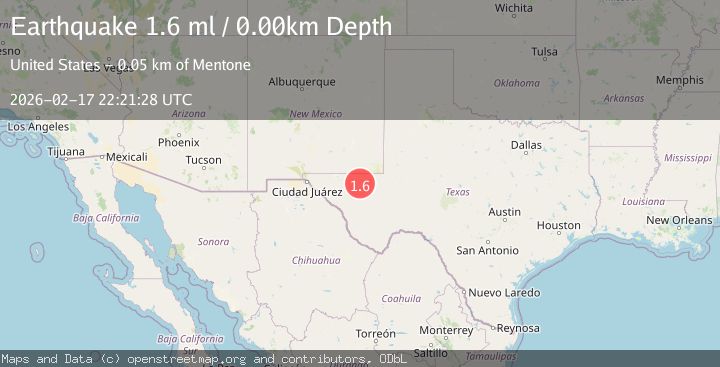
A 1.6 magnitude earthquake struck on 44 km NW of Toyah, Texas, at Tue, 17 Feb 2026 22:21:28 GMT. Depth: 0km. Reviewed by USGS seismologists, this minor quake occurred at a magnitude type of ml.
Magnitude
1.6
ml
Source
USGS
Intensity
-
Agency Reports
1 Sources| Source | Magnitude | Depth | Time |
|---|---|---|---|
| USGSPrimary | 1.6 | 0 km | 10 hours ago |
Earthquake Details
AutomaticEvent IDusgs_tx2026djzpiv
Tsunami PotentialNo
Magnitude Typeml
Nearest Places
- Derrick Ranch4.1 km
- Derrick Draw7.7 km
- Old Michigan Mine8.2 km
- Monument Draw8.4 km
- Kyle Quarry8.9 km
Comments
Join the discussion about this event.
Latest Earthquakes
3.8Mag
Andreanof Islands, Aleutian Islands, Alaska
Time10 hours ago
Depth15.50 km
SourceVYT (Automatic)
1.7Mag
40 km NW of Toyah, Texas
Time10 hours ago
Depth4.25 km
SourceUSGS (Automatic)
1.3Mag
SWITZERLAND
Time10 hours ago
Depth7.60 km
SourceETHZ (Automatic)
3.8Mag
PHILIPPINE ISLANDS REGION
Time10 hours ago
Depth9.00 km
SourcePIVS (Automatic)
2.7Mag
Andreanof Islands, Aleutian Islands, Alaska
Time10 hours ago
Depth29.17 km
SourceVYT (Automatic)
Nearby Earthquakes
1.6Mag
44 km NW of Toyah, Texas
Time2 weeks ago
Depth4.20 km
SourceUSGS (Automatic)
1.7Mag
44 km NW of Toyah, Texas
Time3 weeks ago
Depth4.27 km
SourceUSGS (Automatic)
2.1Mag
western Texas
Time1 week ago
Depth15.50 km
SourceVYT (Automatic)
1.8Mag
western Texas
Time1 day ago
Depth0.12 km
SourceVYT (Automatic)
2.0Mag
western Texas
Time21 hours ago
Depth0.12 km
SourceVYT (Automatic)