Earthquake Timor Region
Sat, 14 Feb 2026 04:18:48 GMT
Time6 days ago
Location
-8.1427, 124.1975
Depth
17.5 KM
Event Summary
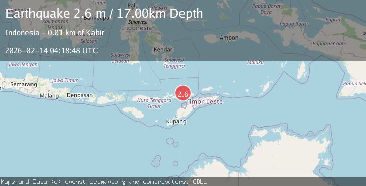
A 2.6 magnitude earthquake struck on Timor Region, at Sat, 14 Feb 2026 04:18:48 GMT. Depth: 17.456175km. Reviewed by BMKG seismologists, this minor quake occurred at a magnitude type of M.
Magnitude
2.6
M
Source
BMKG
Intensity
-
Agency Reports
1 Sources| Source | Magnitude | Depth | Time |
|---|---|---|---|
| BMKGPrimary | 2.6 | 17 km | 6 days ago |
Earthquake Details
ManualEvent IDbmg2026dcsr
Tsunami PotentialNo
Magnitude TypeM
Nearest Places
- Teluk Wailing8.6 km
- Alu Waiwagang8.6 km
- Alu Waimanu8.6 km
- Waiwagang8.7 km
- Teluk Babaturu8.7 km
Comments
Join the discussion about this event.
Latest Earthquakes
2.1Mag
northern Alaska
Time19 hours ago
Depth0.00 km
SourceVYT (Automatic)
2.9Mag
Seram, Indonesia
Time19 hours ago
Depth15.78 km
SourceBMKG
2.5Mag
Java, Indonesia
Time19 hours ago
Depth115.38 km
SourceBMKG
1.4Mag
7 km NW of The Geysers, CA
Time19 hours ago
Depth1.65 km
SourceUSGS (Automatic)
1.1Mag
7 km NE of San Jacinto, CA
Time19 hours ago
Depth16.11 km
SourceUSGS (Automatic)
Nearby Earthquakes
2.9Mag
KEPULAUAN ALOR, INDONESIA
Time4 days ago
Depth641.00 km
SourceBMKG (Automatic)
3.0Mag
BANDA SEA
Time3 years ago
Depth10.00 km
SourceDJA (Automatic)
4.0Mag
KEPULAUAN ALOR, INDONESIA
Time5 years ago
Depth179.00 km
SourceDJA (Automatic)
3.0Mag
KEPULAUAN ALOR, INDONESIA
Time3 years ago
Depth172.00 km
SourceDJA (Automatic)
3.0Mag
KEPULAUAN ALOR, INDONESIA
Time3 months ago
Depth132.00 km
SourceBMKG (Automatic)