Earthquake 7 km NE of San Jacinto, CA
Thu, 19 Feb 2026 10:45:27 GMT
Time1 hour ago
Location
33.8343, -116.9178
Depth
16.1 KM
Event Summary
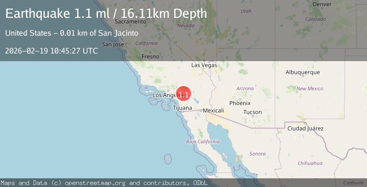
A 1.1 magnitude earthquake struck on 7 km NE of San Jacinto, CA, at Thu, 19 Feb 2026 10:45:27 GMT. Depth: 16.1100006103516km. Reviewed by USGS seismologists, this minor quake occurred at a magnitude type of ml.
Magnitude
1.1
ml
Source
USGS
Intensity
-
Agency Reports
1 Sources| Source | Magnitude | Depth | Time |
|---|---|---|---|
| USGSPrimary | 1.1 | 16 km | 1 hour ago |
Earthquake Details
AutomaticEvent IDusgs_ci41187895
Tsunami PotentialNo
Magnitude Typeml
Nearest Places
- North Mountain Experimental Area1.1 km
- Dellamont1.4 km
- Claremont2.4 km
- KWRP-FM (San Jacinto)3.4 km
- Soboba Hot Springs4.0 km
Comments
Join the discussion about this event.
Latest Earthquakes
2.8Mag
Seram, Indonesia
Time57 minutes ago
Depth18.53 km
SourceBMKG
2.2Mag
Java, Indonesia
Time58 minutes ago
Depth115.38 km
SourceBMKG
1.4Mag
7 km NW of The Geysers, CA
Time1 hour ago
Depth1.65 km
SourceUSGS (Automatic)
1.4Mag
CENTRAL TURKEY
Time1 hour ago
Depth7.00 km
SourceAFAD (Automatic)
2.8Mag
Flores Sea
Time1 hour ago
Depth28.27 km
SourceBMKG
Nearby Earthquakes
3.0Mag
SOUTHERN CALIFORNIA
Time11 years ago
Depth13.00 km
SourceNEIR (Automatic)
1.2Mag
3 km E of San Jacinto, CA
Time3 weeks ago
Depth13.97 km
SourceUSGS (Automatic)
3.0Mag
SOUTHERN CALIFORNIA
Time10 years ago
Depth16.00 km
SourceNEIR (Automatic)
4.0Mag
Southern California
Time1 day ago
Depth20.39 km
SourceVYT (Automatic)
2.7Mag
3 km N of Valle Vista, CA
Time3 weeks ago
Depth13.37 km
SourceUSGS (Automatic)