Earthquake Bali Sea
Sat, 14 Feb 2026 06:46:31 GMT
Time4 days ago
Location
-7.8410, 117.3882
Depth
25.3 KM
Event Summary
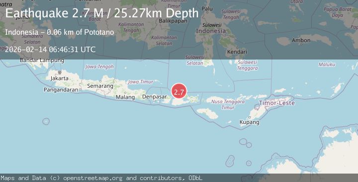
A 2.7 magnitude earthquake struck on Bali Sea, at Sat, 14 Feb 2026 06:46:31 GMT. Depth: 25.273952km. Reviewed by BMKG seismologists, this minor quake occurred at a magnitude type of M.
Magnitude
2.7
M
Source
BMKG
Intensity
-
Agency Reports
1 Sources| Source | Magnitude | Depth | Time |
|---|---|---|---|
| BMKGPrimary | 2.7 | 25 km | 4 days ago |
Earthquake Details
ManualEvent IDbmg2026dcxo
Tsunami PotentialNo
Magnitude TypeM
Nearest Places
- Gosong Sakunci21.7 km
- Pulau Sadapur21.7 km
- Pulau Sailus Kecil29.4 km
- Desa Poleonro29.5 km
- Gosong Sadapur30.1 km
Comments
Join the discussion about this event.
Latest Earthquakes
2.8Mag
Antofagasta, Chile
Time6 minutes ago
Depth0.00 km
SourceVYT (Automatic)
3.3Mag
Near North Coast of West Papua
Time7 minutes ago
Depth10.00 km
SourceBMKG
2.5Mag
off the coast of Tarapaca, Chile
Time8 minutes ago
Depth0.00 km
SourceVYT (Automatic)
2.6Mag
Sunda Strait, Indonesia
Time9 minutes ago
Depth8.74 km
SourceBMKG
2.8Mag
Ceram Sea
Time10 minutes ago
Depth5.46 km
SourceBMKG
Nearby Earthquakes
2.5Mag
Bali Sea
Time6 days ago
Depth10.00 km
SourceBMKG
3.0Mag
BALI SEA
Time2 years ago
Depth10.00 km
SourceBMKG (Automatic)
3.0Mag
BALI SEA
Time3 years ago
Depth11.00 km
SourceDJA (Automatic)
3.0Mag
BALI SEA
Time10 months ago
Depth297.00 km
SourceBMKG (Automatic)
3.1Mag
BALI SEA
Time1 month ago
Depth10.00 km
SourceBMKG (Automatic)