Earthquake North of Halmahera, Indonesia
Sat, 14 Feb 2026 10:51:17 GMT
Time4 days ago
Location
3.0235, 128.5287
Depth
19.4 KM
Event Summary
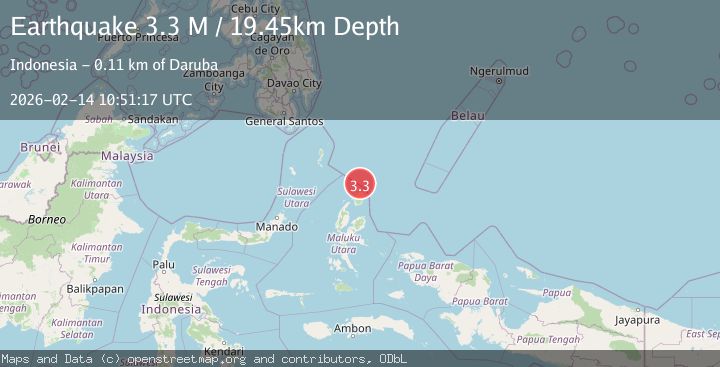
A 3.3 magnitude earthquake struck on North of Halmahera, Indonesia, at Sat, 14 Feb 2026 10:51:17 GMT. Depth: 19.45km. Reviewed by BMKG seismologists, this minor quake occurred at a magnitude type of M.
Magnitude
3.3
M
Source
BMKG
Intensity
-
Agency Reports
1 Sources| Source | Magnitude | Depth | Time |
|---|---|---|---|
| BMKGPrimary | 3.3 | 19 km | 4 days ago |
Earthquake Details
ManualEvent IDbmg2026ddfq
Tsunami PotentialNo
Magnitude TypeM
Nearest Places
- Tanjung Sopi42.5 km
- Kakaibabao43.7 km
- Tanjung Modiu45.5 km
- Papuamalolu46.0 km
- Teluk Sopi47.6 km
Comments
Join the discussion about this event.
Latest Earthquakes
1.4Mag
EASTERN TURKEY
Time7 minutes ago
Depth6.80 km
SourceAFAD (Automatic)
1.7Mag
northern Alaska
Time8 minutes ago
Depth4.64 km
SourceVYT (Automatic)
1.2Mag
5 km WNW of The Geysers, CA
Time13 minutes ago
Depth3.19 km
SourceUSGS (Automatic)
3.4Mag
Sulawesi, Indonesia
Time17 minutes ago
Depth27.95 km
SourceVYT (Automatic)
1.6Mag
Central Alaska
Time18 minutes ago
Depth18.07 km
SourceVYT (Automatic)
Nearby Earthquakes
4.0Mag
NORTH OF HALMAHERA, INDONESIA
Time8 months ago
Depth10.00 km
SourceBMKG (Automatic)
4.0Mag
NORTH OF HALMAHERA, INDONESIA
Time3 years ago
Depth208.00 km
SourceDJA (Automatic)
5.0Mag
HALMAHERA, INDONESIA
Time12 years ago
Depth209.00 km
SourceEMSC (Automatic)
5.0Mag
NORTH OF HALMAHERA, INDONESIA
Time2 years ago
Depth205.70 km
SourceEMSC (Automatic)
4.0Mag
NORTH OF HALMAHERA, INDONESIA
Time11 months ago
Depth186.00 km
SourceBMKG (Automatic)