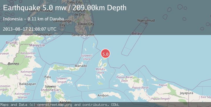
Earthquake HALMAHERA, INDONESIA
Sat, 17 Aug 2013 21:08:07 GMT
Time12 years ago
Location
2.9700, 128.5700
Depth
209.0 KM
Event Summary
A 5.0 magnitude earthquake struck on HALMAHERA, INDONESIA, at Sat, 17 Aug 2013 21:08:07 GMT. Depth: 209km. Reviewed by EMSC seismologists, this moderate quake occurred at a magnitude type of mw.
Magnitude
5.0
mw
Source
EMSC
Intensity
-
Agency Reports
1 Sources| Source | Magnitude | Depth | Time |
|---|---|---|---|
| EMSCPrimary | 5.0 | 209 km | 12 years ago |
Earthquake Details
AutomaticEvent IDemsc_EMSC_20130817_0000085
Tsunami PotentialNo
Magnitude Typemw
Nearest Places
- Tanjung Sopi36.3 km
- Kakaibabao37.7 km
- Papuamalolu39.6 km
- Tanjung Modiu39.6 km
- Teluk Sopi42.0 km
Comments
Join the discussion about this event.
Latest Earthquakes
2.2Mag
Tarapaca, Chile
Time2 hours ago
Depth0.12 km
SourceVYT (Automatic)
3.7Mag
Adriatic Sea
Time2 hours ago
Depth10.00 km
SourceVYT (Automatic)
1.2Mag
4 km W of Lake Henshaw, CA
Time2 hours ago
Depth12.20 km
SourceUSGS (Automatic)
2.6Mag
Near North Coast of West Papua
Time2 hours ago
Depth10.00 km
SourceBMKG
3.4Mag
Jujuy, Argentina
Time2 hours ago
Depth299.32 km
SourceVYT (Automatic)
Nearby Earthquakes
4.0Mag
NORTH OF HALMAHERA, INDONESIA
Time8 months ago
Depth10.00 km
SourceBMKG (Automatic)
3.3Mag
North of Halmahera, Indonesia
Time4 days ago
Depth19.45 km
SourceBMKG
5.2Mag
HALMAHERA, INDONESIA
Time12 years ago
Depth214.00 km
SourceEMSC (Automatic)
3.2Mag
Halmahera, Indonesia
Time2 days ago
Depth213.51 km
SourceBMKG
4.0Mag
NORTH OF HALMAHERA, INDONESIA
Time3 years ago
Depth208.00 km
SourceDJA (Automatic)