Earthquake West Papua Region, Indonesia
Sat, 14 Feb 2026 11:45:50 GMT
Time6 days ago
Location
-1.4012, 133.4010
Depth
94.5 KM
Event Summary
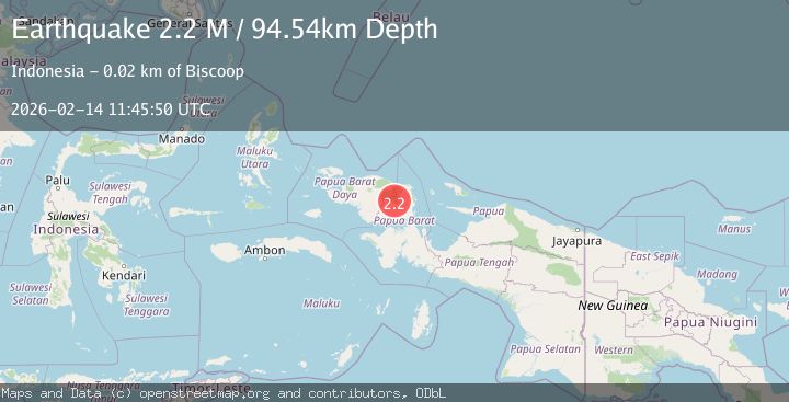
A 2.2 magnitude earthquake struck on West Papua Region, Indonesia, at Sat, 14 Feb 2026 11:45:50 GMT. Depth: 94.540184km. Reviewed by BMKG seismologists, this minor quake occurred at a magnitude type of M.
Magnitude
2.2
M
Source
BMKG
Intensity
-
Agency Reports
1 Sources| Source | Magnitude | Depth | Time |
|---|---|---|---|
| BMKGPrimary | 2.2 | 95 km | 6 days ago |
Earthquake Details
ManualEvent IDbmg2026ddhk
Tsunami PotentialNo
Magnitude TypeM
Nearest Places
- 2.5 km
- 7.5 km
- 8.8 km
- 10.4 km
- 10.6 km
Comments
Join the discussion about this event.
Latest Earthquakes
1.6Mag
11 km NE of San Simeon, CA
Time8 minutes ago
Depth9.12 km
SourceUSGS (Automatic)
3.0Mag
OFFSHORE LOS LAGOS, CHILE
Time8 minutes ago
Depth29.00 km
SourceCSN (Automatic)
2.0Mag
Poland
Time16 minutes ago
Depth5.62 km
SourceVYT (Automatic)
1.4Mag
3 km WSW of Mira Loma, CA
Time16 minutes ago
Depth7.18 km
SourceUSGS (Automatic)
2.2Mag
WESTERN TURKEY
Time19 minutes ago
Depth24.40 km
SourceAFAD (Automatic)
Nearby Earthquakes
3.0Mag
PAPUA, INDONESIA
Time11 months ago
Depth10.00 km
SourceBMKG (Automatic)
3.0Mag
PAPUA, INDONESIA
Time1 year ago
Depth10.00 km
SourceBMKG (Automatic)
3.4Mag
PAPUA, INDONESIA
Time1 month ago
Depth9.00 km
SourceBMKG (Automatic)
2.5Mag
West Papua Region, Indonesia
Time1 week ago
Depth10.00 km
SourceBMKG
2.1Mag
West Papua Region, Indonesia
Time6 days ago
Depth10.00 km
SourceBMKG