Earthquake Southern Sumatra, Indonesia
Sat, 14 Feb 2026 15:19:44 GMT
Time4 days ago
Location
-5.1520, 103.2760
Depth
32.8 KM
Event Summary
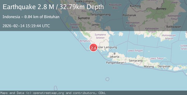
A 2.8 magnitude earthquake struck on Southern Sumatra, Indonesia, at Sat, 14 Feb 2026 15:19:44 GMT. Depth: 32.794693km. Reviewed by BMKG seismologists, this minor quake occurred at a magnitude type of M.
Magnitude
2.8
M
Source
BMKG
Intensity
-
Agency Reports
1 Sources| Source | Magnitude | Depth | Time |
|---|---|---|---|
| BMKGPrimary | 2.8 | 33 km | 4 days ago |
Earthquake Details
ManualEvent IDbmg2026ddom
Tsunami PotentialNo
Magnitude TypeM
Nearest Places
- Desa Muara Jaya35.6 km
- Tanjung Linau36.1 km
- Wayhawang36.8 km
- Desa Linau37.2 km
- Teluk Sambat37.4 km
Comments
Join the discussion about this event.
Latest Earthquakes
1.8Mag
Tarapaca, Chile
Time11 hours ago
Depth89.23 km
SourceVYT (Automatic)
2.2Mag
Estonia
Time11 hours ago
Depth14.04 km
SourceVYT (Automatic)
2.2Mag
FRANCE
Time11 hours ago
Depth5.00 km
SourceReNaSS (Automatic)
2.5Mag
northern Alaska
Time11 hours ago
Depth135.99 km
SourceVYT (Automatic)
1.4Mag
Czech Republic
Time11 hours ago
Depth31.62 km
SourceVYT (Automatic)
Nearby Earthquakes
4.0Mag
SOUTHERN SUMATRA, INDONESIA
Time2 years ago
Depth19.00 km
SourceBMKG (Automatic)
3.0Mag
SOUTHERN SUMATRA, INDONESIA
Time9 months ago
Depth12.00 km
SourceBMKG (Automatic)
5.0Mag
SOUTHERN SUMATRA, INDONESIA
Time16 years ago
Depth55.00 km
SourceEMSC (Automatic)
3.0Mag
SOUTHERN SUMATRA, INDONESIA
Time1 year ago
Depth22.00 km
SourceBMKG (Automatic)
2.5Mag
SOUTHERN SUMATRA, INDONESIA
Time6 days ago
Depth28.00 km
SourceBMKG (Automatic)