Earthquake SOUTHERN SUMATRA, INDONESIA
Thu, 12 Feb 2026 18:48:14 GMT
Time6 days ago
Location
-5.1300, 103.1700
Depth
28.0 KM
Event Summary
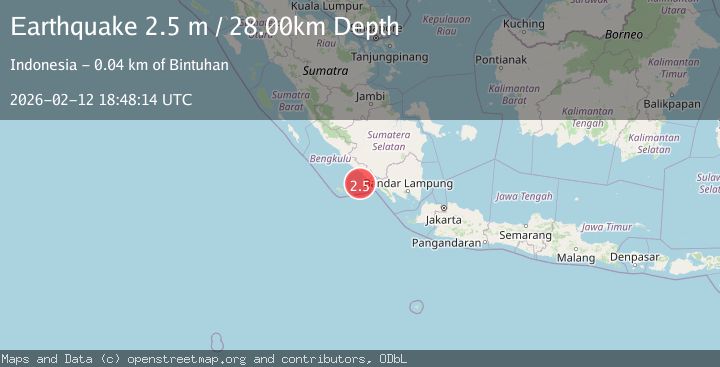
A 2.5 magnitude earthquake struck on SOUTHERN SUMATRA, INDONESIA, at Thu, 12 Feb 2026 18:48:14 GMT. Depth: 28km. Reviewed by BMKG seismologists, this minor quake occurred at a magnitude type of m.
Magnitude
2.5
m
Source
BMKG
Intensity
-
Agency Reports
1 Sources| Source | Magnitude | Depth | Time |
|---|---|---|---|
| BMKGPrimary | 2.5 | 28 km | 6 days ago |
Earthquake Details
AutomaticEvent IDemsc_BMKG_20260212_0000249
Tsunami PotentialNo
Magnitude Typem
Nearest Places
- Desa Muara Jaya40.2 km
- Tanjung Linau40.3 km
- Tanjung Bintuhan40.5 km
- Teluk Sambat40.6 km
- Kelurahan Bandar Bintuhan40.9 km
Comments
Join the discussion about this event.
Latest Earthquakes
1.9Mag
Tarapaca, Chile
Time9 hours ago
Depth7.93 km
SourceVYT (Automatic)
2.4Mag
West Papua Region, Indonesia
Time9 hours ago
Depth10.00 km
SourceBMKG
2.7Mag
Antofagasta, Chile
Time9 hours ago
Depth0.00 km
SourceVYT (Automatic)
2.7Mag
Tarapaca, Chile
Time9 hours ago
Depth10.50 km
SourceVYT (Automatic)
2.7Mag
South of Java, Indonesia
Time9 hours ago
Depth24.46 km
SourceBMKG
Nearby Earthquakes
3.0Mag
Southern Sumatra, Indonesia
Time2 weeks ago
Depth23.61 km
SourceBMKG (Automatic)
3.0Mag
SOUTHERN SUMATRA, INDONESIA
Time1 year ago
Depth22.00 km
SourceBMKG (Automatic)
3.0Mag
SOUTHERN SUMATRA, INDONESIA
Time9 months ago
Depth12.00 km
SourceBMKG (Automatic)
3.0Mag
SOUTHERN SUMATRA, INDONESIA
Time3 years ago
Depth27.00 km
SourceDJA (Automatic)
3.0Mag
SOUTHERN SUMATRA, INDONESIA
Time5 years ago
Depth25.00 km
SourceDJA (Automatic)