Earthquake Sumbawa Region, Indonesia
Sat, 14 Feb 2026 15:56:43 GMT
Time3 days ago
Location
-9.6618, 116.1010
Depth
11.6 KM
Event Summary
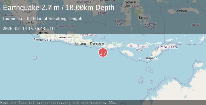
A 2.7 magnitude earthquake struck on Sumbawa Region, Indonesia, at Sat, 14 Feb 2026 15:56:43 GMT. Depth: 11.619471km. Reviewed by BMKG seismologists, this minor quake occurred at a magnitude type of M.
Magnitude
2.7
M
Source
BMKG
Intensity
-
Agency Reports
1 Sources| Source | Magnitude | Depth | Time |
|---|---|---|---|
| BMKGPrimary | 2.7 | 10 km | 3 days ago |
Earthquake Details
ManualEvent IDbmg2026ddps
Tsunami PotentialNo
Magnitude TypeM
Nearest Places
- Lombok Basin22.1 km
- Pulau Sophialouisa82.6 km
- Pulau Gilisaya83.2 km
- Tanjung Tampah83.5 km
- Gili Wayang83.7 km
Comments
Join the discussion about this event.
Latest Earthquakes
1.7Mag
46 km SSE of Whites City, New Mexico
Time23 hours ago
Depth4.66 km
SourceUSGS (Automatic)
2.2Mag
Halmahera, Indonesia
Time23 hours ago
Depth13.54 km
SourceBMKG
2.0Mag
Flores Sea
Time23 hours ago
Depth36.47 km
SourceBMKG
2.3Mag
Antofagasta, Chile
Time23 hours ago
Depth0.00 km
SourceVYT (Automatic)
2.0Mag
Tarapaca, Chile
Time23 hours ago
Depth9.28 km
SourceVYT (Automatic)
Nearby Earthquakes
2.8Mag
LOMBOK REGION, INDONESIA
Time1 month ago
Depth26.00 km
SourceBMKG (Automatic)
5.2Mag
LOMBOK REGION, INDONESIA
Time10 years ago
Depth80.00 km
SourceEMSC (Automatic)
2.9Mag
LOMBOK REGION, INDONESIA
Time0 months ago
Depth10.00 km
SourceBMKG (Automatic)
2.5Mag
LOMBOK REGION, INDONESIA
Time1 month ago
Depth33.00 km
SourceBMKG (Automatic)
4.0Mag
SOUTH OF BALI, INDONESIA
Time1 year ago
Depth10.00 km
SourceBMKG (Automatic)