Earthquake Halmahera, Indonesia
Tue, 17 Feb 2026 15:06:40 GMT
Time21 hours ago
Location
0.8782, 128.5293
Depth
13.5 KM
Event Summary
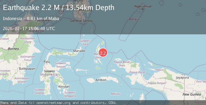
A 2.2 magnitude earthquake struck on Halmahera, Indonesia, at Tue, 17 Feb 2026 15:06:40 GMT. Depth: 13.543751km. Reviewed by BMKG seismologists, this minor quake occurred at a magnitude type of M.
Magnitude
2.2
M
Source
BMKG
Intensity
-
Agency Reports
1 Sources| Source | Magnitude | Depth | Time |
|---|---|---|---|
| BMKGPrimary | 2.2 | 14 km | 21 hours ago |
Earthquake Details
ManualEvent IDbmg2026djao
Tsunami PotentialNo
Magnitude TypeM
Nearest Places
- Karang Metonga5.8 km
- Pulau Parapara9.0 km
- Air Galausita9.9 km
- Tanjung Mokali10.4 km
- Air Walal10.4 km
Comments
Join the discussion about this event.
Latest Earthquakes
2.0Mag
Flores Sea
Time21 hours ago
Depth36.47 km
SourceBMKG
2.3Mag
Antofagasta, Chile
Time21 hours ago
Depth0.00 km
SourceVYT (Automatic)
2.0Mag
Tarapaca, Chile
Time21 hours ago
Depth9.28 km
SourceVYT (Automatic)
0.6Mag
10 km NW of The Geysers, CA
Time21 hours ago
Depth1.32 km
SourceUSGS (Automatic)
2.2Mag
SAN FRANCISCO BAY AREA, CALIF.
Time21 hours ago
Depth15.90 km
SourceNC (Automatic)
Nearby Earthquakes
2.6Mag
HALMAHERA, INDONESIA
Time1 month ago
Depth10.00 km
SourceBMKG (Automatic)
3.0Mag
HALMAHERA, INDONESIA
Time5 years ago
Depth10.00 km
SourceDJA (Automatic)
2.7Mag
Halmahera, Indonesia
Time3 weeks ago
Depth5.18 km
SourceBMKG (Automatic)
2.2Mag
Halmahera, Indonesia
Time1 week ago
Depth49.18 km
SourceBMKG (Automatic)
3.0Mag
HALMAHERA, INDONESIA
Time2 months ago
Depth10.00 km
SourceBMKG (Automatic)