Earthquake Flores Region, Indonesia
Sat, 14 Feb 2026 17:03:24 GMT
Time3 days ago
Location
-8.2819, 119.8708
Depth
160.4 KM
Event Summary
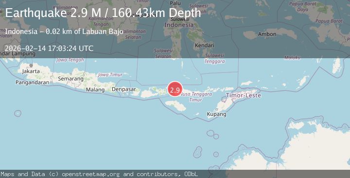
A 2.9 magnitude earthquake struck on Flores Region, Indonesia, at Sat, 14 Feb 2026 17:03:24 GMT. Depth: 160.43042km. Reviewed by BMKG seismologists, this minor quake occurred at a magnitude type of M.
Magnitude
2.9
M
Source
BMKG
Intensity
-
Agency Reports
1 Sources| Source | Magnitude | Depth | Time |
|---|---|---|---|
| BMKGPrimary | 2.9 | 160 km | 3 days ago |
Earthquake Details
ManualEvent IDbmg2026ddrx
Tsunami PotentialNo
Magnitude TypeM
Nearest Places
- Toro Seraya Besar10.9 km
- Desa Seraya Marannu11.9 km
- Pulau Seraya-besar12.0 km
- Pulau Tukohbele13.2 km
- Pulau Papanggau13.9 km
Comments
Join the discussion about this event.
Latest Earthquakes
2.8Mag
West Papua Region, Indonesia
Time5 hours ago
Depth10.00 km
SourceBMKG
2.8Mag
Java, Indonesia
Time5 hours ago
Depth12.47 km
SourceBMKG
2.6Mag
HALMAHERA, INDONESIA
Time5 hours ago
Depth16.00 km
SourceBMKG (Automatic)
2.9Mag
Southern Molucca Sea
Time5 hours ago
Depth170.58 km
SourceBMKG
2.4Mag
WESTERN TURKEY
Time5 hours ago
Depth5.40 km
SourceKOERI (Automatic)
Nearby Earthquakes
5.1Mag
FLORES REGION, INDONESIA
Time13 years ago
Depth30.00 km
SourceEMSC (Automatic)
2.6Mag
FLORES REGION, INDONESIA
Time2 weeks ago
Depth161.00 km
SourceBMKG (Automatic)
2.7Mag
FLORES REGION, INDONESIA
Time1 month ago
Depth156.00 km
SourceBMKG (Automatic)
3.0Mag
FLORES REGION, INDONESIA
Time2 years ago
Depth184.00 km
SourceBMKG (Automatic)
5.1Mag
FLORES REGION, INDONESIA
Time6 years ago
Depth186.00 km
SourceEMSC (Automatic)