Earthquake West Papua, Indonesia
Sat, 14 Feb 2026 17:52:30 GMT
Time3 days ago
Location
-3.2825, 140.4030
Depth
57.7 KM
Event Summary
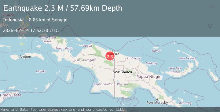
A 2.3 magnitude earthquake struck on West Papua, Indonesia, at Sat, 14 Feb 2026 17:52:30 GMT. Depth: 57.690289km. Reviewed by BMKG seismologists, this minor quake occurred at a magnitude type of M.
Magnitude
2.3
M
Source
BMKG
Intensity
-
Agency Reports
1 Sources| Source | Magnitude | Depth | Time |
|---|---|---|---|
| BMKGPrimary | 2.3 | 58 km | 3 days ago |
Earthquake Details
ManualEvent IDbmg2026ddtn
Tsunami PotentialNo
Magnitude TypeM
Nearest Places
- Songgolo13.6 km
- Sungai Pelveh15.6 km
- Kiveh19.4 km
- Pauwasi20.5 km
- Molof21.6 km
Comments
Join the discussion about this event.
Latest Earthquakes
1.9Mag
Antofagasta, Chile
Time1 minute ago
Depth9.40 km
SourceVYT (Automatic)
1.2Mag
63 km WNW of Toyah, Texas
Time3 minutes ago
Depth0.08 km
SourceUSGS (Automatic)
1.4Mag
12 km SSW of Salton City, CA
Time8 minutes ago
Depth5.74 km
SourceUSGS (Automatic)
1.2Mag
Southern Alaska
Time13 minutes ago
Depth37.11 km
SourceVYT (Automatic)
3.0Mag
Seram, Indonesia
Time13 minutes ago
Depth12.36 km
SourceBMKG
Nearby Earthquakes
2.6Mag
PAPUA, INDONESIA
Time1 month ago
Depth26.00 km
SourceBMKG (Automatic)
2.9Mag
PAPUA, INDONESIA
Time1 month ago
Depth14.00 km
SourceBMKG (Automatic)
3.2Mag
PAPUA, INDONESIA
Time0 months ago
Depth28.00 km
SourceBMKG (Automatic)
3.0Mag
PAPUA, INDONESIA
Time4 years ago
Depth22.00 km
SourceDJA (Automatic)
3.0Mag
PAPUA, INDONESIA
Time4 years ago
Depth10.00 km
SourceDJA (Automatic)