Earthquake 63 km WNW of Toyah, Texas
Wed, 18 Feb 2026 14:53:25 GMT
Time1 hour ago
Location
31.5850, -104.3800
Depth
0.1 KM
Event Summary
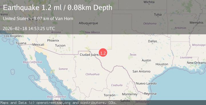
A 1.2 magnitude earthquake struck on 63 km WNW of Toyah, Texas, at Wed, 18 Feb 2026 14:53:25 GMT. Depth: 0.0789km. Reviewed by USGS seismologists, this minor quake occurred at a magnitude type of ml.
Magnitude
1.2
ml
Source
USGS
Intensity
-
Agency Reports
1 Sources| Source | Magnitude | Depth | Time |
|---|---|---|---|
| USGSPrimary | 1.2 | 0 km | 1 hour ago |
Earthquake Details
AutomaticEvent IDusgs_tx2026dlgmdl
Tsunami PotentialNo
Magnitude Typeml
Nearest Places
- Juan Well0.9 km
- Old Walker Well2.5 km
- Sweetwater Well5.1 km
- Weatherby Ranch5.3 km
- Sulphur Well5.8 km
Comments
Join the discussion about this event.
Latest Earthquakes
2.0Mag
Poland
Time1 hour ago
Depth0.49 km
SourceVYT (Automatic)
1.9Mag
Antofagasta, Chile
Time1 hour ago
Depth9.40 km
SourceVYT (Automatic)
1.3Mag
8 km NW of The Geysers, CA
Time1 hour ago
Depth2.00 km
SourceUSGS (Automatic)
1.4Mag
12 km SSW of Salton City, CA
Time1 hour ago
Depth5.74 km
SourceUSGS (Automatic)
1.2Mag
Southern Alaska
Time1 hour ago
Depth37.11 km
SourceVYT (Automatic)
Nearby Earthquakes
1.5Mag
63 km S of Whites City, New Mexico
Time10 hours ago
Depth3.54 km
SourceUSGS (Automatic)
1.6Mag
62 km S of Whites City, New Mexico
Time2 days ago
Depth4.34 km
SourceUSGS (Automatic)
3.0Mag
WESTERN TEXAS
Time3 years ago
Depth5.00 km
SourceNEIC (Automatic)
3.0Mag
WESTERN TEXAS
Time4 years ago
Depth7.00 km
SourceTX (Automatic)
3.0Mag
WESTERN TEXAS
Time3 months ago
Depth5.00 km
SourceNEIC (Automatic)